What is recorded here
Kilmogga means the Church of St. Magadh, and a thirteenth-century charter still points to that lost church. Behind the holy bush and ancient stone, a gravel pit marks the buried graveyard. The land swallowed the dead and the prayers that followed them.
Carrigan (1905, vol. 3, 390, 392) citing O'Donovan (OS Letters, 1839) gives the translation of the Irish name for the townland, Kilmogga, as, 'the Church of St. Magadh' and he gives a reference to a 13th-century charter which mentions the church (KK023-009003-) at Kilmog. Carrigan (ibid. 392-3) gives the location of the church and graveyard as, 'A gravel pit, a perch or two [5-10m] to the rere of the Bush [holy tree KK023-009002-] and Rock [bullaun stone KK023-009001-], marks, according to tradition, the site of an obliterated "churchyard." Here, then, must have stood the ancient church of St. Magadh, from which the townland of Kilmogg has been named'. The gravel pit is indicated on the 1st (1839) ed. OS 6-inch map, and on the 1947 revision, in the field immediately S of 'St. Patrick's Bush', running along the roadside. There is no visible trace of the graveyard at ground level.
Compiled by: Jean Farrelly
Date of upload: 1 June 2021
Medieval Christian burial site, 13th century. Associated with the Church of St. Magadh, indicating early ecclesiastical activity in the region.
This remains an important historical record, but the official description says the monument is no longer visible or has been destroyed. The monument record does not grant public access. Check the route and ask the landowner before entering private land.
- What survives
- No visible remains or recorded as destroyed
Places near here
 Bullaun stone in Kilmog OR RacecourseBullaun stone · 1 yd
 St. Patricks BushRitual site, holy tree/bush · 1 yd
 HawthornHawthorn · 8 yd
 Jamie BroderickMemorial · 932 yd
 Castle BamfordCastle, tower house · 1709 yd
 Saint Joseph's Catholic Churchchurch/chapel · 1.1 mi
 The N76 Callan Road Realignment SchemeMemorial · 1.2 mi
 CastleCastle, unclassified · 1.2 mi
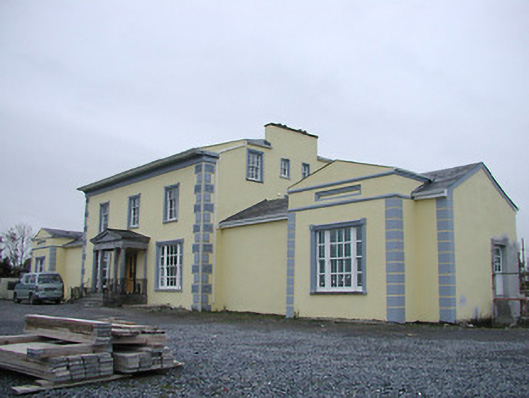 Tinnypark Househouse · 1.3 mi
 Millennium WoodWood · 2.5 mi
 HedgerowVisitor information · 2.5 mi
 Burnchurch CastleVisitor information · 2.6 mi