What is recorded here
Kilminnick West takes its name from an obliterated graveyard on the southern bank of the Kilminnick river, probably dating to the early years of Christianity in Ireland. People once gathered there for a pattern whose day is now forgotten, leaving behind only a holy well named for a white-thorn tree. The graves vanished, but the river and field still carry the shape of that lost worship.
According to Carrigan (1905, vol. 3, 321), Kilminnic, ‘a townland adjoining that of Kilbride, derives its name from a long obsolete and obliterated graveyard situated in Mrs. Aylward’s “kiln-field,” on the southern bank of the Kilminnick river. It is said to have been a much more ancient cemetery than Kilbride, and, very probably, dates back to the early years of Christianity in Ireland. A pattern was formerly held here, but it is so long given up that the day on which it was held is unknown. Near the site of the church is a fine well, now accounted holy, and known as Tobarnaskeha or Well of the White-thorn tree’.
The well is indicated on the 1st (1839) ed. OS 6-inch map and on the 1948 revision of this map, 20-30m S of the Kilbridge River, within a narrow band of Baunta Commons townland, immediately N of Kilminnick West townland. It is possible that the church (KK026-029001-) and graveyard (KK026-029002-) described by Carrigan are either in Baunta Commons or Kilminnick West townland, though their precise location within either of these townlands is unknown.
Compiled by: Jean Farrelly
Date of upload: 11 May 2022
The monument record does not grant public access. Check the route and ask the landowner before entering private land.
- What survives
- Recorded monument
Places near here
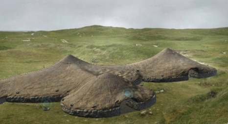 Enclosure in Pollagh (kells By., Callan Rural Ed)Enclosure · 972 yd
 ToberbrideHoly well · 1091 yd
 Church in Ahanure NorthChurch · 1352 yd
 Callan Union Workhouseworkhouse · 1.1 mi
 European ashEuropean ash · 1.2 mi
 Green StreetVisitor information · 1.2 mi
 Edmund Rice MemorialMemorial · 1.3 mi
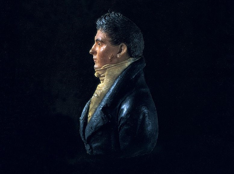 James Hoban MonumentMemorial · 1.3 mi
 Stop 4: Callan Town HallVisitor information · 1.4 mi
 Mill IslandIslet · 1.5 mi
 West CourtCastle, unclassified · 1.7 mi
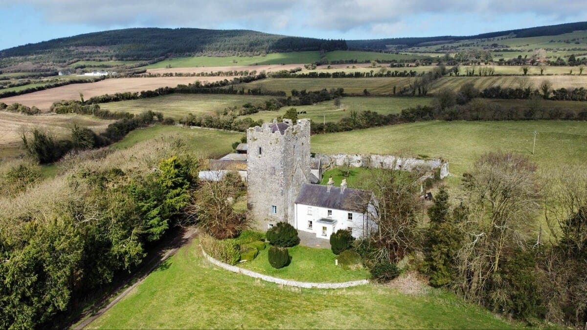 CastleCastle, tower house · 1.7 mi