What is recorded here
Graveyard in Kilmalin lost its church and graves when a descendant of Cromwell's followers planted an orchard over the dead around 1770. The soil may still hold forgotten bones beneath fruit branches, turning mourning into sweetness. A holy well nearby may have served the same people, cleaning hands before prayer or burial. What remains is not a ruin but a transformation, human life rewritten through land and memory.
The OS Letters (O'Flanagan 1928, 5) mention the church and graveyard in this townland, which had been destroyed c. 1770 by 'one of the descendants of Cromwell's followers', and planted as an orchard. Price (1953, 251) mentions the remains of a burial ground which had all but disappeared. The holy well at Powerscourt Demesne (WI007-016----) may have been associated with this site.
The above description is derived from the published 'Archaeological Inventory of County Wicklow' (Dublin: Stationery Office, 1997). In certain instances the entries have been revised and updated in the light of recent research.
Date of upload/revision: 3 October 2012
The monument record does not grant public access. Check the route and ask the landowner before entering private land.
- What survives
- Recorded monument
Places near here
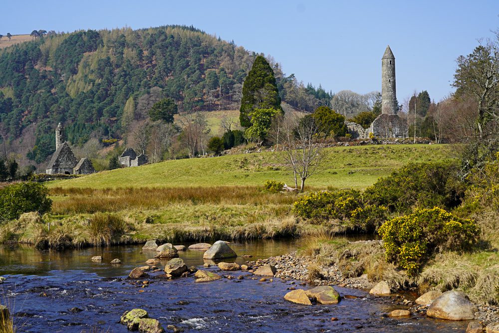 IndicatedFairy fort / earthen ringfort · 119 yd
 Enclosure in KilmalinEnclosure · 206 yd
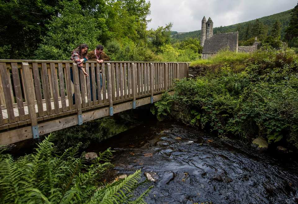 Anacrivey WoodForest · 1022 yd
 Sweet ChestnutSweet Chestnut · 1181 yd
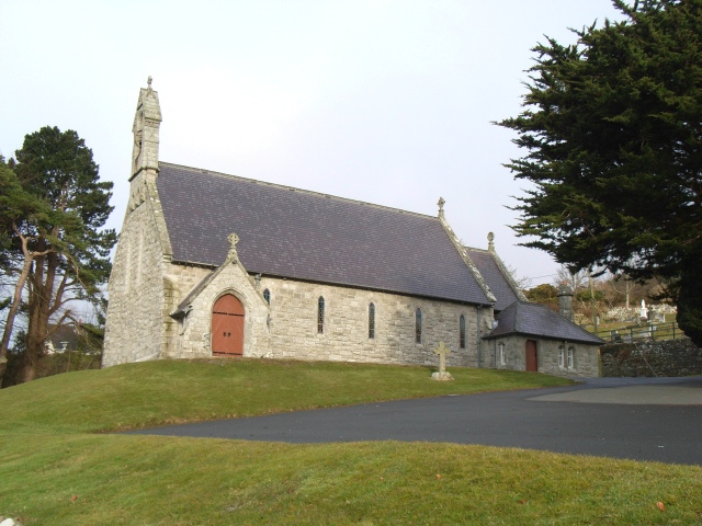 Saint Patrick's Catholic Churchchurch/chapel · 1578 yd
 Powerscourt EstateHeritage attraction · 1751 yd
 Church (in ruins)Church · 1.0 mi
 Prince William's SeatMountain / peak · 1.6 mi
 Barnaslingan HillMountain / peak · 1.8 mi
 Barnaslingan - Pine loop trailWalking route · 2.0 mi
 Barnaslingan - Scalp Lookout TrailWalking route · 2.0 mi
 Lover's LeapNamed rock · 2.2 mi