What is recorded here
According to ITA Survey (1945), founded by St Abban in the early sixth century. Subsequently attached to St Thomas' Abbey, Dublin. It is depicted by a dashed line on the 1839 'OS 6-inch' map, rectangular in shape with the church (CW018-017001-) in the NW angle. O'Donovan (OSL 1839, 119) refers to 'a small and little-frequented graveyard attached to the old site'. By the latest 6-inch ed. the graveyard is roughly D-shaped (map dims. 26m E-W along straight N side, c. 24m N-S) and the church is no longer visible, being depicted by a cross. No visible traces of either church or graveyard. Single eighteenth-century headstone lies on site.
Compiled by: Jean Farrelly
Date of upload: 19 August 2011
Christian cemetery, early medieval period (6th–12th century), associated with St Abban and later St Thomas' Abbey, Dublin. Its long continuity of use and ecclesiastical connections highlight its regional religious and historical significance.
This remains an important historical record, but the official description says the monument is no longer visible or has been destroyed. The monument record does not grant public access. Check the route and ask the landowner before entering private land.
- What survives
- No visible remains or recorded as destroyed
Places near here
 Barragh Church (in ruins), GraveyardChurch · 22 yd
 New Bridgebridge · 627 yd
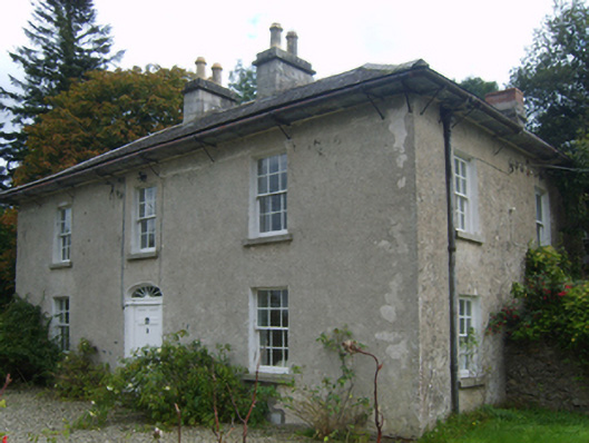 Bridge Housefarm house · 697 yd
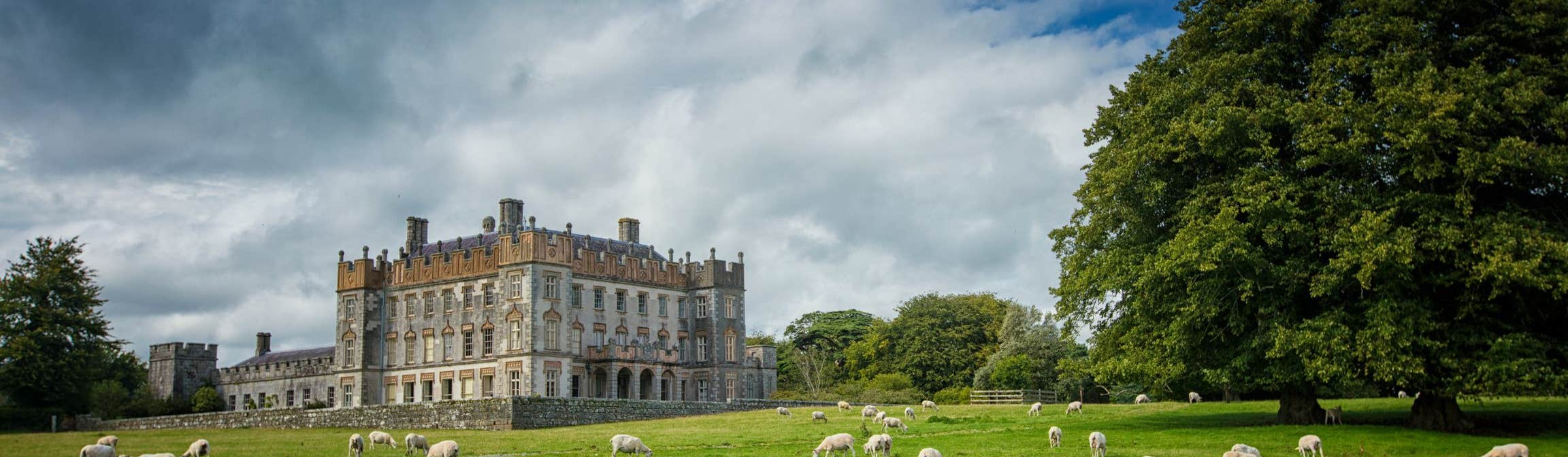 Round O RathEnclosure · 1.4 mi
 Huntington Castle & GardensHeritage attraction · 1.5 mi
 European YewEuropean Yew · 1.5 mi
 Carrickduff WoodWood · 1.5 mi
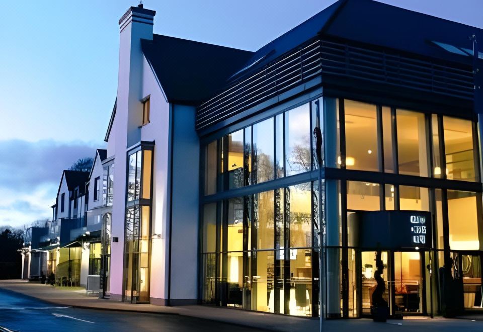 Enclosure in Raheen (forth By.)Enclosure · 1.6 mi
 1798 rebellion Battle of Newtownbarry (AKA Bunclody) commemorative plaqueMemorial · 1.9 mi
 Bunclody 1798 Bicentenary MemorialMemorial · 1.9 mi
 John's HillMountain / peak · 2.0 mi
 Clonogan Castle (site of)Castle, unclassified · 2.3 mi