What is recorded here
Graveyard in Glengoole North stands on a long rectangular platform beside a ruined church, facing Derryvella bog and the Slieveardagh hills. The land around the church was once wet and marshy, forcing people to build on raised ground before drainage changed the fields. Bodies may have been buried within the ancient earthworks while the living watched storms move across open grassland. The graveyard remains visible because it resisted forgetting, even when farms and boundaries shifted around it.
In grassland on a low rise of ground with good views in all directions, Derryvella bog to W and Slieveardagh hills to SE. The 19th century ruins of a farmhouse and farmyard are indicated on the 2nd (1905) ed. OS 6-inch map as 'The Demesne', located immediately E of the church (TS048-038----). The church is located on a long rectangular platform (dims. 40m NE-SW; 60m NW-SE) which may represent the remains of the graveyard. The platform is defined by a scarp (H 1-1.3m) and external fosse (base Wth 3m; top Wth 6m; ext. D 0.3m), with slight evidence of an outer bank (base Wth 8m; top Wth 4m; ext. H 0.3m) at the W only. A field boundary bisects the platform on a NW-SE axis. The field to the S of the church appears to have been drained or reclaimed in the 19th century, with evidence of small drainage systems in this field, suggesting that the land surrounding the church may have been wet and marshy when the church was in use.
Compiled by: Jean Farrelly
Date of upload: 26 August 2011
The monument record does not grant public access. Check the route and ask the landowner before entering private land.
- What survives
- Recorded monument
Places near here
 StructureStructure, peatland · 831 yd
 RoadRoad, unclassified togher · 924 yd
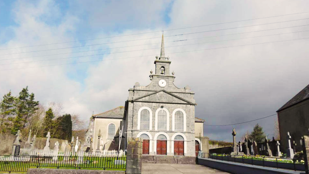 Derryvella Church (in Ruins)Church · 992 yd
 Grave YardEcclesiastical enclosure · 1027 yd
 Waterloo HillMountain / peak · 1607 yd
 Derrynaflan TrailHeritage attraction · 1.8 mi
 Bog Castle (in Ruins)Castle, unclassified · 2.0 mi
 Mellisson CastleCastle, tower house · 2.2 mi
 Slieveardagh Heritage CentreVisitor information · 3.1 mi
 Gobban Saer's GraveArchaeological place · 3.3 mi
 Sweet ChestnutSweet Chestnut · 3.7 mi
 Bregaun HillMountain / peak · 4.0 mi