What is recorded here
On E side of road; square graveyard (c. 25m NE-SW; c. 25m NW-SE) enclosed by stone wall; erected according to plaque originally in wall of graveyard (Coleman 1913, 32), by Rev. W. Chatterton at his own expence in 1831; plaque now on outer modern gate pier. Inscribed headstones, of which Coleman (1907-9b) noted only 'fourteen or fifteen', the earliest dating to1704 (ibid.); some uninscribed gravemarkers noted. In occasional use. ontains ruins of Bohillane parish church (CO077-03102-) near NW wall.
The above description is derived from the published 'Archaeological Inventory of County Cork. Volume 2: East and South Cork' (Dublin: Stationery Office, 1994). In certain instances the entries have been revised and updated in the light of recent research.
Date of upload/revision: 14 January 2009
The monument record does not grant public access. Check the route and ask the landowner before entering private land.
- What survives
- Recorded monument
Places near here
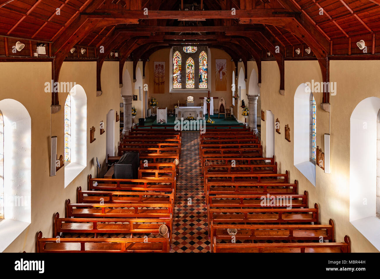 Bohillane Church (in Ruins)Church · 15 yd
 Rathcallan HouseCountry house · 1027 yd
 Fulacht fia in RooskaghFulacht fia · 1543 yd
 Enclosure in Ballybane (imokilly By.)Enclosure · 1.2 mi
 CastleCastle, tower house · 1.6 mi
 Garryvoe Castle (in Ruins)Castle, tower house · 1.8 mi
 Mitchell's WoodWood · 1.8 mi
 William Heffernan MemorialMemorial · 2.3 mi
 Garryvoe BeachBeach / strand · 2.6 mi
 Pigeon WoodWood · 2.6 mi
 N25 Picnic SitePicnic place · 3.1 mi
 Mary StandfordMemorial · 4.0 mi