What is recorded here
Graveyard in Farraneglish Glebe is a levelled burial ground beside a road in County Laois, Ireland, where the church field still holds the shadow of Teampull na gCailleach Dubh. In 1845 the graveyard was uprooted and its clay scattered as top-dressing, yet ploughing in the 1950s brought up large quantities of human bones, proving that the land had not forgotten its dead. The place may have served the black nuns and ordinary worshippers alike, a chapel of ease where prayer, birth and death moved through the same small field before the soil was taken for farmland.
Situated in undulating countryside beside a road. On the first ed. OS 6-inch map the remains of a medieval church (LA023-029----) stand on the S boundary of a square-shaped field (dims. c. 43m N-S; 45m E-W) depicted as an orchard on the OS map. The church is incorrectly marked, to S of road, on the 1909 ed. OS 6-inch map and on the 25-inch OS map. According to local information, there was a graveyard in the field known as 'the Church Field', to N of church. Large quantities of human bones were uncovered here, during ploughing in the 1950s. The graveyard (LA023-029001-) was levelled in 1845. According to Carrigan in this year the graveyard attached to the church was uprooted and the clay put out for top-dressing There was a nunnery adjoined to the church and hence it got the name Teampull na gCailleach Dubh or the Church of the Black Nuns (Carrigan 1905, vol. 2, 55-56). There are a series of low earthworks in the field immediately to the S of the church which may be related to the medieval church. On the first ed. OS 6-inch map this field is depicted with two small tower-like buildings with adjoining earthworks possibly of a formal garden. According to Carrigan the townland name Farraneglish means Land of the Church or Church Land. This was a chapel of ease to Aghaboe parish church in medieval times (ibid., vol. 2, 55-6).
Compiled by: Caimin O'Brien
Date of upload: 15 July 2013
The monument record does not grant public access. Check the route and ask the landowner before entering private land.
- What survives
- Recorded monument
Places near here
 Church in ruinsChurch · 17 yd
 Enclosure in DairyhillEnclosure · 1409 yd
 Enclosure in BoherardEnclosure · 1645 yd
 Scotch RathHouse, fortified house · 1680 yd
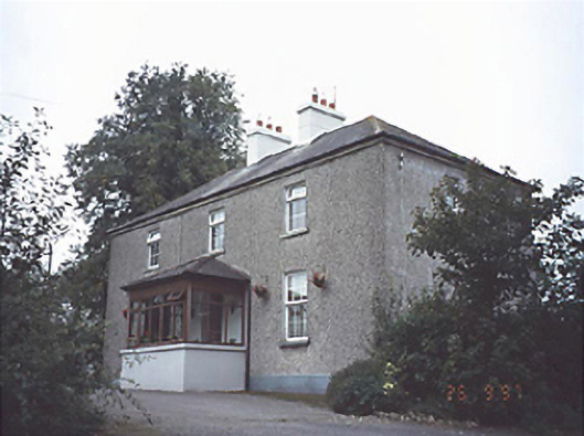 Gortnaclea Househouse · 1752 yd
 Gortnaclea Castle (ruins)Castle · 1.0 mi
 European PearEuropean Pear · 2.2 mi
 Birchfield PlantationForest · 3.6 mi
 Anker's IslandIsland · 8.3 mi
 Cnoc SeanrathaMemorial · 9.2 mi
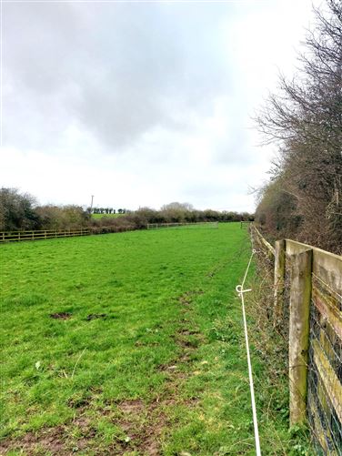 Enclosure in Ballygeehin UpperEnclosure · 1746 yd
 Enclosure in ScotchrathEnclosure · 1.1 mi