What is recorded here
Not marked on the 1840 and 1907 editions of the OS 6-inch maps. Known as The Saint's Church. (Carrigan 1905, 224). No visible surface remains.
Described by Carrigan as 'The Saint's church (LA029-035) and churchyard at Dunmore, are said to have been situated partly on the site now occupied by the south-western division of Dunmore House, and partly on the tennis ground adjoining' (Carrigan 1905, vol. 2, 224).
Compiled by: Caimin O'Brien
Date of upload: 17 December 2007
The monument record does not grant public access. Check the route and ask the landowner before entering private land.
- What survives
- Recorded monument
Places near here
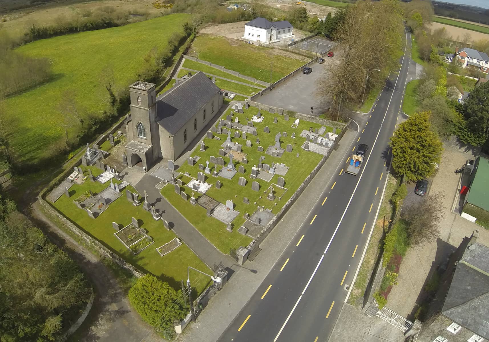 Church in DunmoreChurch · 1 yd
 Enclosure in WatercastleEnclosure · 1124 yd
 Water CastleCastle · 1483 yd
 Monastery (in Ruins)Ecclesiastical site · 1652 yd
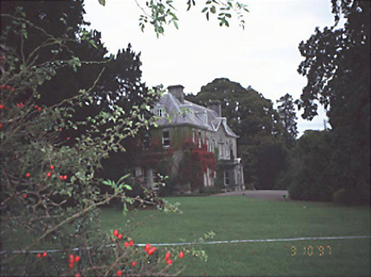 Moyne Househouse · 1.1 mi
 Bawn in FermoyleBawn · 1.2 mi
 Pedunculate OakPedunculate Oak · 1.7 mi
 Birchfield PlantationForest · 1.8 mi
 1798 MonumentMemorial · 3.2 mi
 Knocknamoe HouseMemorial · 3.6 mi
 Heywood GardensHeritage attraction · 3.7 mi
 Anker's IslandIsland · 3.9 mi