What is recorded here
No wall, no gate, no line on any map: the graveyard in Drumsawry or Summerbank vanished so completely that even its shape must be guessed. Yet two headstones, dated 1740 and 1753, still sit buried in a nearby field wall like teeth left behind when a mouth stops speaking. They prove the place existed, but they refuse to say where the dead lay, leaving the slope holding a absence instead of a answer.
Located on the N-facing slope of a SE-NW spur at the N foothills of the E-W Slieve na Calliagh ridge. The church (ME009-042002-) was in a graveyard, which was never enclosed or marked on a map and is no longer evident, but two headstones from it, dated 1740 and 1753, were built into a nearby field wall. Archaeological testing (05E1393) by C. Duffy on a plot (dims c. 100m E-W c. 30m N-S) c. 200m to the SSW produced no related material (excavations.ie 2005:1174; 2006:1522). (O'Connell 1965, 174-5)
Compiled by: Michael Moore
Date of upload: 21 May, 2014
Amended: 30 July, 2014
The monument record does not grant public access. Check the route and ask the landowner before entering private land.
- What survives
- Recorded monument
Places near here
 indicatedChurch · 5 yd
 CastleCastle, unclassified · 28 yd
 Enclosure in Ballinvally,drumsawry OR SummerbankEnclosure · 847 yd
 Enclosure in BallinvallyEnclosure · 882 yd
 C11Named rock · 1249 yd
 Carnbane WestMountain / peak · 1278 yd
 LoughcrewMegalithic tomb cemetery · 1490 yd
 Loughcrew Megalithic TombsHeritage attraction · 1.2 mi
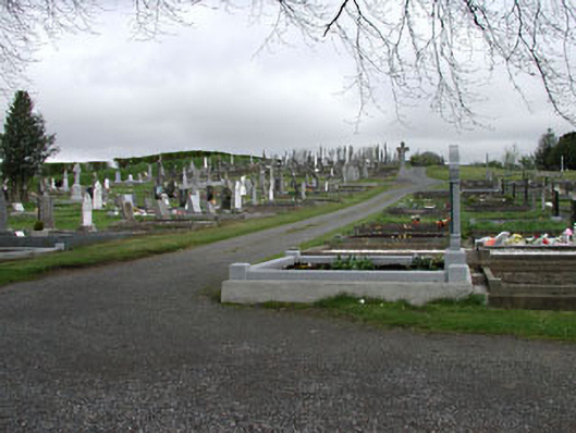 graveyard/cemeterygraveyard/cemetery · 1.2 mi
 Slieve Na CalliaghMountain / peak · 1.2 mi
 Common LimeCommon Lime · 1.4 mi
 European YewEuropean Yew · 1.4 mi