What is recorded here
Conry church ruins (WM025-005001-) stands inside an Early Christian ecclesiastical enclosure (WM025-005002-) on a natural rise of ground surrounded by poorly drained land known as the 'Island of Conry'. On the 1656-9 Down Survey map of Churchtown parish this townland was known as 'Conry & Cloghoule' (NLI, MS 723-4), the latter was anglicised to the present Croughal which lies in the parish of Churchtown.
Conry church ruins (WM025-005001-) stand inside a sub-rectangular shaped graveyard (approx. dims. 65m NW-SE x 45m NE-SW) defined by a low earth and stone bank in N quadrant of the larger ecclesiastical enclosure (WM025-005002-). A cluster of low uninscribed stones to the S of the church ruins may represent burial markers. Two cross-inscribed graveslabs (WM025-005003-/004-) lie inside the sub-rectangular shaped graveyard.
Site described in 1978 as following; 'To the NW of the church (WM024-005001-) there is a rough limestone slab with remains of an inscribed cross of Early Christian date (WM024-005003-). The church is on a low rise in low lying wet pasture land. The site is criss-crossed with earthworks & enclosures. To the SE of the church there is a possible house site (WM025-005001-).' (SMR file). The cross-slab and church are situated inside a large oval shaped enclosure (WM025-005002-). A second cross-slab (WM025-005004-) is located immediately S of the church. The church is depicted on the 1837 OS Fair Plan map as 'Conragh Old Church' with a 'Grave' marked to the NNW of the SW corner of the church ruin, with a 'Grave Yard' depicted as a sub-rectangular field which is not indicated on the current edition of the OS 6-inch map (SMR file). The Island of Conry is depicted on Magan Estate Map of 1819 as 'Church Ruins & Burial ground', on this map the church and burial ground are not enclosed (NLI, MS 14 A 21 (5) SMR file).
Compiled and revised by: Caimin O'Brien
Date of revised upload: 05 March 2019
Early Christian graveyard; associated with a 7th-century monastic site. Significance lies in its location within an ecclesiastical enclosure and its potential links to early Irish Christianity.
The monument record does not grant public access. Check the route and ask the landowner before entering private land.
- What survives
- Recorded monument
Places near here
 Partially indicatedEcclesiastical enclosure · 73 yd
 Boleyvillish CastleCastle · 568 yd
 Site of CastleCastle, unclassified · 1190 yd
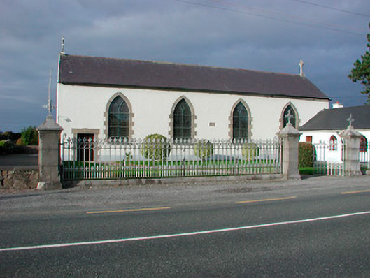 Catholic Church of the Assumptionchurch/chapel · 1340 yd
 Font (present location) in TogherstownFont (present location) · 1341 yd
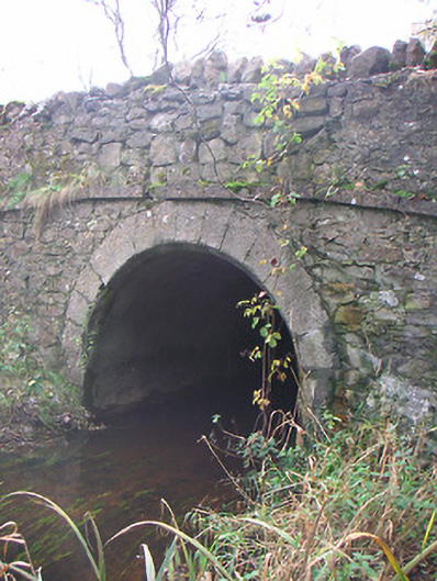 Corr Bridgebridge · 1388 yd
 Hill of UisneachMountain / peak · 1.2 mi
 European ashEuropean ash · 2.1 mi
 Ancient Ring FortWood · 2.6 mi
 KnockastiaMountain / peak · 5.5 mi
 Abbeyshrule AbbeyRuins · 7.6 mi
 Guest ServicesVisitor information · 8.2 mi