What is recorded here
Coolnagranshy stands on a low crest above the vanished southern shore of Lough Gara Lower, where a church or nunnery once faced the water. Maps and local memory agree that burial belongs to the site, although the function changed between a worship place and a religious house. The lake has pulled back, leaving the graveyard suspended between land and lost water, with dead people possibly still arranged around the building that no longer answers.
Marked as a church on a manuscript map of 1770 in NLI (ms. 21. F. 13 (10)), and described as a nunnery on the 1837 ed. of the OS 6-inch map. Situated on the crest of a low rise overlooking the former Lough Gara Lower, the S shore of which was c. 100m to N. There is a local tradition of a graveyard attached to the church site (RO005-013001-) (Gannon 1972).
Compiled by: Michael Moore
Date of upload: 24 August 2010
A medieval nunnery and graveyard; significant as a religious and burial site from the 18th to 19th centuries.
The monument record does not grant public access. Check the route and ask the landowner before entering private land.
- What survives
- Recorded monument
Places near here
 Boyle NunneryChurch · 1 yd
 IndicatedFairy fort / earthen ringfort · 1280 yd
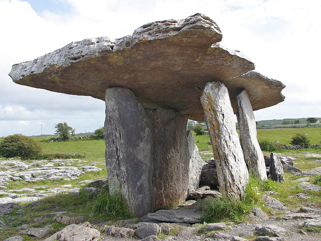 Drumanone DolmenArchaeological place · 1481 yd
 CastleCastle, unclassified · 1.5 mi
 Curlew MountainsMountain / peak · 2.0 mi
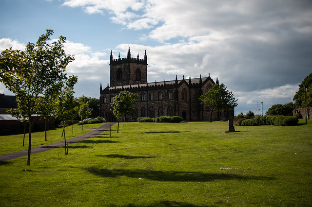 Assylin ChurchChurch · 2.1 mi
 Inch IslandIslet · 2.7 mi
 Castle (in Ruins)Castle, unclassified · 2.8 mi
 Castle PointHeadland · 2.9 mi
 King William MemorialMonument · 3.0 mi
 Crow IslandIslet · 3.1 mi
 Boyle AbbeyHeritage attraction · 3.1 mi