What is recorded here
Cloonamahan House still stands beside the buried church of Kil-na-Mochain, though neither graveyard nor worship room remains visible. O'Rorke placed them together in 1878, giving the forgotten slope a name and a purpose. The land may have swallowed both, but the house still marks the edge of what was lost.
On an E-facing slope. There are no visible remains of the church (SL026-154001-) called 'Kil-na-Mochain', which O'Rorke (1878, 196) placed in the demesne of Cloonamahan House and which had 'annexed a graveyard'. The location of the graveyard and church is unknown.
Compiled by: Archaeological Survey Unit, UCC with revisions by Patrick F. O'Donovan and Paul Walsh
Date of upload: 20 June 2011
This remains an important historical record, but the official description says the monument is no longer visible or has been destroyed. The monument record does not grant public access. Check the route and ask the landowner before entering private land.
- What survives
- No visible remains or recorded as destroyed
Places near here
 Indicated (1838).Fairy fort / earthen ringfort · 603 yd
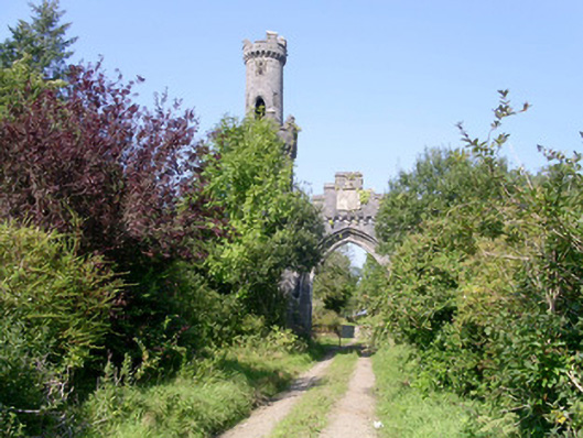 Markree Castlegate lodge · 888 yd
 IndicatedFairy fort / earthen ringfort · 953 yd
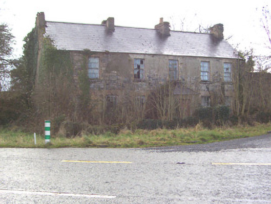 Toberscanavan Househouse · 1352 yd
 Castle (Site of)Castle, unclassified · 1.0 mi
 Field MapleField Maple · 1.7 mi
 European ashEuropean ash · 1.8 mi
 James MorrisonMemorial · 2.0 mi
 CastleCastle, motte and bailey · 2.1 mi
 Giants GraveArchaeological place · 3.8 mi
 Riverstown Folk ParkHeritage attraction · 3.9 mi
 CroaghaunMountain / peak · 4.1 mi