What is recorded here
St. Dallan’s well still flows beside the buried church in Burnchurch, where an oval shadow in the grass marks the graveyard that vanished from human memory. The field holds more than lost stone; it holds the breath of everyone who prayed there before forgetting erased the name. What is missing is not dead, only waiting to be remembered through the water and the shape the land still keeps.
Not indicated on the 1st (1839) ed. OS 6-inch map or 1947 revision, though a ‘Church (Site of)’ (KK023-053001-) is shown on the latter. According to Carrigan (1905, vol. 3, 376), near St Dallan’s Well (KK023-054----), ‘on the sandy rising ground over the well, and in the same field, there were a church and church-yard, both entirely blotted out. (Tradition)’. Commins (1906, 267) also mentions, ‘the site of an old church and a holy well are shown at a short distance over in the fields, in the direction of Ballybur. The ancient name of Burnchurch was Kiltrayn. St. Dallan was patron of the parish’. The outline of the church is visible as a cropmark on satellite imagery (Google Earth, imagery date 13 August 2015) and immediately to the E, running up to the church both on the N and S side, is an oval enclosure (dims. c. 44m NNE-SSW; c. 36m ESE-WNW) which may be the associated graveyard.
See attached:
KK023-052----_01 satellite image (Google Earth, imagery date 13 August 2015)
Compiled by: Jean Farrelly
Date of upload: 17 August 2021
The monument record does not grant public access. Check the route and ask the landowner before entering private land.
- What survives
- Recorded monument
Places near here
 Church (Site of)Church · 14 yd
 St. Dallans WellHoly well · 99 yd
 Ballybur CastleCastle, tower house · 1145 yd
 Burnchurch CastleVisitor information · 1163 yd
 Church in BurnchurchChurch · 1219 yd
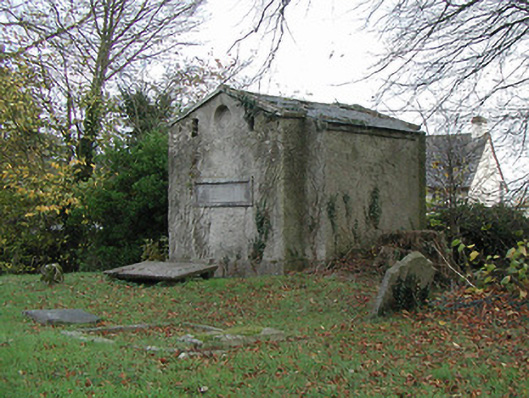 Burnchurch Churchmausoleum · 1252 yd
 CastleCastle, unclassified · 1717 yd
 HawthornHawthorn · 2.0 mi
 Ballyda Holy WellSpring · 2.2 mi
 Jamie BroderickMemorial · 2.5 mi
 The N76 Callan Road Realignment SchemeMemorial · 2.6 mi
 Millennium WoodWood · 2.7 mi