What is recorded here
Cape Clear's graveyard sits on a high east-facing slope above the north harbour, holding seventeenth-century stones carved by Finin MacGearailt inside walls built by Rev. T.J. O'Sullivan. The irregular area remains in use, giving the island its oldest continuous address for death, memory and the people who kept returning to it.
On high E-facing slope overlooking north harbour of Cape Clear. Irregular area (31m E-W; 47m N-S) enclosed by stone walls built by Rev. T.J. O'Sullivan - priest in charge of island (Burke 1908, 119). Contains church (CO153-017002-) and seventeenth century gravestones carved by Finin MacGearailt (Walker's Guide to Cape Clear (1989), 7). In use.
The above description is derived from the published 'Archaeological Inventory of County Cork. Volume 1: West Cork' (Dublin: Stationery Office, 1992). In certain instances the entries have been revised and updated in the light of recent research.
Date of upload/revision: 14 January 2009
The monument record does not grant public access. Check the route and ask the landowner before entering private land.
- What survives
- Recorded monument
Places near here
 Templekieran (in Ruins)Church · 5 yd
 Wild Atlantic Way: CléireVisitor information · 154 yd
 Trá CiaráinBeach / strand · 155 yd
 Oifig Fáilte Siopa CeirdVisitor information · 214 yd
 Promontory fortPromontory fort, coastal · 346 yd
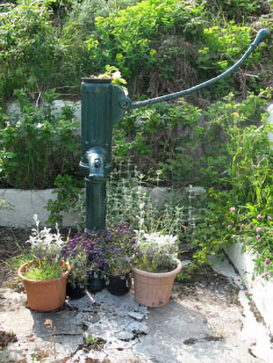 water pumpwater pump · 445 yd
 Earthwork in Baile Iarthach Thuaidh (cléire)Earthwork · 552 yd
 O'Driscoll CastleCastle · 637 yd
 Doonanore Castle (in Ruins)Castle, tower house · 642 yd
 An Gleann LoopWalking route · 973 yd
 CléireIsland · 1004 yd
 Cape Clear MuseumMuseum · 1382 yd