What is recorded here
Graveyard (Disused) is a buried memory in County Carlow, marked only by a shallow rectangular rise and a faint eastern bank. It stopped being used before human records began, yet the shape remained visible enough for local people to call it the Rath and for surveyors to draw it in 1839. What is missing is not the place but the witness: the names, the ceremonies and the reason the field was chosen. The ground still holds that absence, waiting for someone to remember what it once contained.
The following description is derived from the published 'Archaeological Inventory of County Carlow' (Dublin: Stationery Office, 1993). In certain instances the entries have been revised and updated in the light of recent research.
Date of upload/revision: 17 July 2007
Marked on 1839 'OS 6-inch' map 'Site of Kilbrannish Grave Yard'. Referred to locally as 'the Rath'. Unenclosed rectangular uncultivated area (c. 14.5m N-S; c. 16m E-W), slightly higher than surrounding field level. Traces of slight bank along E side of platform.
The monument record does not grant public access. Check the route and ask the landowner before entering private land.
- What survives
- Recorded monument
Places near here
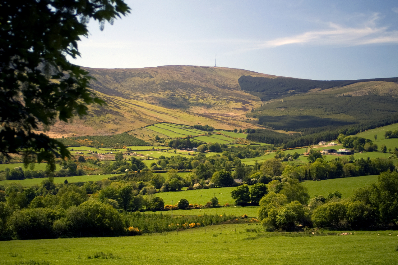 Enclosure in Kilbrannish North,kilbrannish SouthEnclosure · 193 yd
 Cross in Kilbrannish SouthCross · 838 yd
 St Bridget's WellSpring · 956 yd
 GreenogeMountain / peak · 1328 yd
 John's HillMountain / peak · 1.2 mi
 Carrickduff WoodWood · 2.4 mi
 Site of Clonmullen CastleCastle, unclassified · 2.4 mi
 Mount LeinsterMountain · 2.9 mi
 Irish Hangliding and Paragliding AssociationMemorial · 2.9 mi
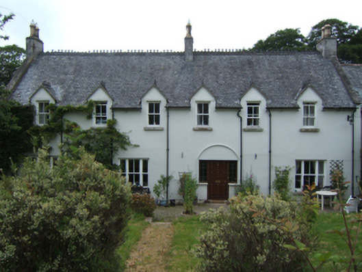 Mill Housefarm house · 3.0 mi
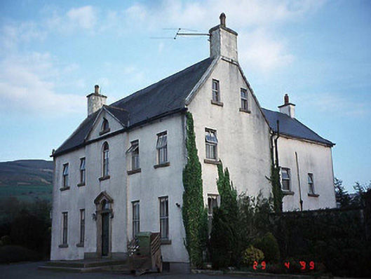 Hollybrook Househouse · 3.0 mi
 Barragh Church (in ruins), GraveyardChurch · 3.1 mi