What is recorded here
Thirteen graveslabs, possibly taken from a St Mary’s or St John’s graveyard to reinforce a late medieval bridge, lay hidden beneath the River Nore until recovery in 2001-2003. One broken limestone slab, heavily water-worn and perforated, may have covered a chest tomb in the 14th century. They now rest in Magdalan tower, Maudlin St, Kilkenny, carrying the quiet weight of lives the river swallowed and the bridge helped to bury.
Thirteen graveslabs were recovered from the River Nore during the archaeological excavations (01E980) carried out in 2001-2003 as part of the River Nore Drainage Scheme (Doyle and O’Meara 2004, 6-20). These were found associated with the late medieval bridge (KK019-026070-), immediately N of the current John’s Bridge (ibid. 7). It is suggested that the graveslabs were deliberately cleared from a graveyard, possibly belonging to either St Mary’s parish church (KK019-026115-) c. 100m to the W or to St John’s Priory (KK019-026068-) c. 200m to the NE, and used as part of the rubble needed to form a protective apron for the piers of the late medieval bridge (ibid. 16-19). Currently stored in Magdalan tower (KK019-026074-), Maudlin St, Kilkenny.
A limestone sub-rectangular graveslab (01E0980: 2252/2262) which is broken in two roughly down the middle (total dims. L 1.83m; Wth 0.67m; T 0.14m), one end of the slab is broken off (ibid. 11, 16). It is very heavily water worn and pitted and is perforated through at one point, with no decoration or inscription visible (ibid.). It has rounded double bevelled edges and may have been the lid of a chest tomb (ibid.). The slab possibly dates to the 14th century (ibid. 11).
See attached photograph:
KK019-026425-_01 Photograph by Chris Corlett
Compiled by: Jean Farrelly
Date of upload: 16 January 2023
Graveslabs recovered from the River Nore, likely medieval in date, represent funerary monuments associated with early Christian or monastic activity in Kilkenny. Their recovery from the river highlights the impact of historical flooding and urban development on archaeological heritage.
The monument record does not grant public access. Check the route and ask the landowner before entering private land.
- What survives
- Recorded monument
Places near here
 Kilkenny County Council Car ParkVisitor information · 53 yd
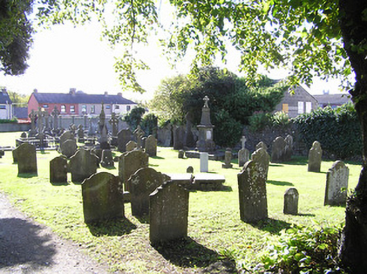 graveyard/cemeterygraveyard/cemetery · 106 yd
 Graveyard in Gardens (kilkenny City By., St. John's Par.)Graveyard · 110 yd
 Roselawnhouse · 152 yd
 KilkennyVisitor information · 212 yd
 1916-2016Memorial · 227 yd
 TombTomb, effigial · 317 yd
 Butler GalleryGallery · 359 yd
 CastleCastle, unclassified · 378 yd
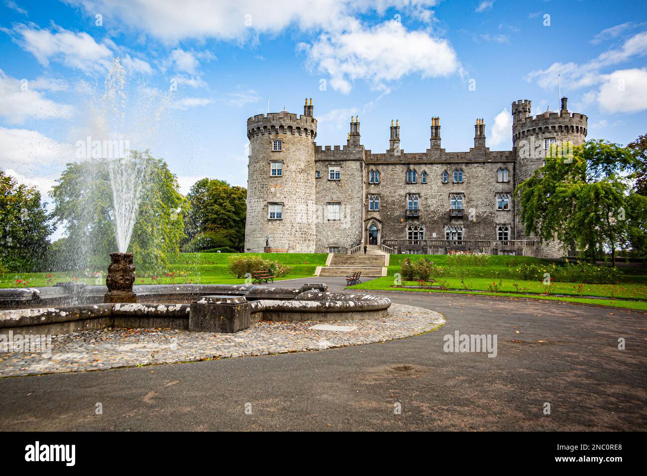 Fortification in Dukesmeadows (shillelogher By., St. Patrick's Par.)Fortification · 419 yd
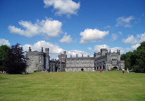 Kilkenny CastleHeritage attraction · 426 yd
 Knockavonhouse · 176 yd