What is recorded here
The church of the Crutched Friars of St John's (RO046-004005-) is within a D-shaped graveyard (RO046-004029-) (dims 43m NE-SW; 35m NW-SE) defined by masonry walls. Within the graveyard is a graveslab (dims 1.67m x 0.76m) which was discovered in 2007 by Richard Collins (2012, 3-4) who thought it had a sixteenth century date. More recent work by the St John’s Heritage Group reveals that the inscription in false relief is in roman lettering and commemorates John Clusk who died in the early eighteenth century. Research work by the group reveals that John Clusk of Carrowphadeen signed a lease in 1725 and his widow Margaret is listed in the Elphin Diocesan Census of 1749. The inscription with its contractions reads: I WAS D / THIS MONUM ERECT BY / MARGAT CLVSK OVER Ye / BODY OF HER HVSBAND IO _ _ / CLVSK WHO DEPT THIS LI / FE IN _ 53 YEAR OF HIS AGE ON / _ _ DAY OF _ _ _
Compiled by: Michael Moore
Date of upload: 11 April 2011
Amended: 2 December 2020
The monument record does not grant public access. Check the route and ask the landowner before entering private land.
- What survives
- Recorded monument
Places near here
 Church (in Ruins)Religious house, Fratres Cruciferi · 10 yd
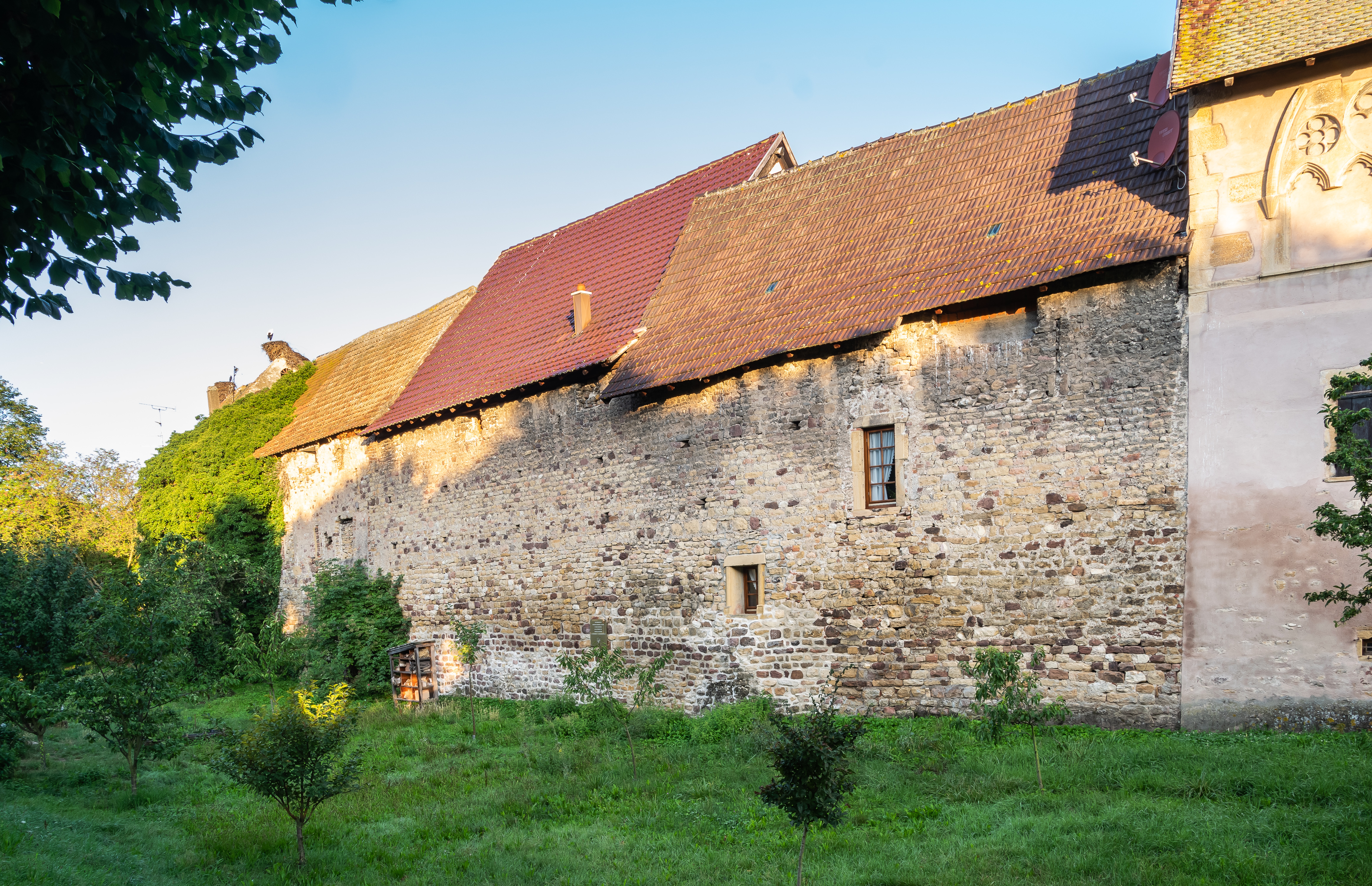 Fortified WallTown defences · 265 yd
 Historic town in Warren,rinnaganHistoric town · 664 yd
 R. C. ChapelChurch · 968 yd
 Safe HarbourBay · 993 yd
 Rindown CastleCastle, Anglo-Norman masonry castle · 1021 yd
 Carrownure BayBay · 1163 yd
 RindoonWood · 1425 yd
 St. John's WoodWood · 1683 yd
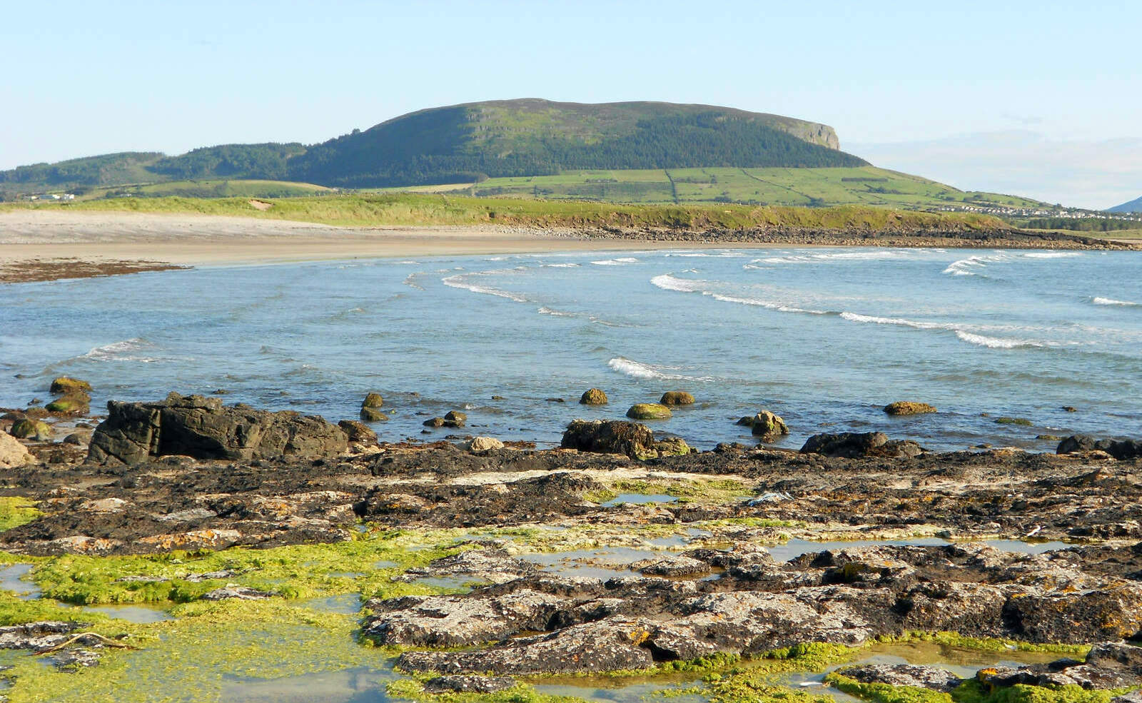 Brearoge IslandsIslet · 1.4 mi
 Horse IslandIslet · 1.5 mi
 Culnagore WoodForest · 2.8 mi