What is recorded here
There is a medieval graveslab, the head of which is deeply buried (visible L 1.02m; Wth at base 0. 43m; T 0.1-0.12m), in the graveyard. The original base (Wth 0.39m) is now at the top and the slightly raised shaft of a cross (Wth 4cm) and edge moulding can be seen on its W face (King 2007, 58).
Compiled by: Michael Moore
Date of upload: 10 July, 2014
Medieval Christian burial monument, 12th–16th century. The inverted orientation and dimensions suggest possible reuse or disturbance, reflecting later changes in burial practices or site use.
The monument record does not grant public access. Check the route and ask the landowner before entering private land.
- What survives
- Recorded monument
Places near here
 Cross in NobberCross · 15 yd
 Church of Saint John the Baptist (Nobber)church/chapel · 27 yd
 Nobber GreenwayMemorial · 47 yd
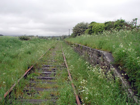 Nobber Railway Stationplatform · 71 yd
 MoatCastle, motte and bailey · 331 yd
 Enclosure in BrittasEnclosure · 957 yd
 Common LimeCommon Lime · 1253 yd
 Gallows HillMountain / peak · 1261 yd
 Cherburg WoodForest · 1725 yd
 Ugly HillMountain / peak · 1.5 mi
 Castletown FortCastle, motte and bailey · 2.7 mi
 Owenroe and Moynalty DrainageMemorial · 3.5 mi