What is recorded here
On the N side of Old Church Street, on a precipitous N-facing slope, with a good view of the town to the N. The graveyard is orientated roughly E-W with the church (TS075-048003-), also orientated E-W at the E end of the graveyard. The graveyard, enclosed by a stone wall, is roughly rectangular in plan (dims. c. 26m N-S at W end and c. 34m N-S at E end; c. 76m E-W) with the entrance at the S end of the W wall. There are a number of loose architectural fragments reused as grave-markers in the graveyard.
Compiled by: Jean Farrelly
Date of upload: 26 August 2011
The monument record does not grant public access. Check the route and ask the landowner before entering private land.
- What survives
- Recorded monument
Places near here
 Church (in ruins)Church · 9 yd
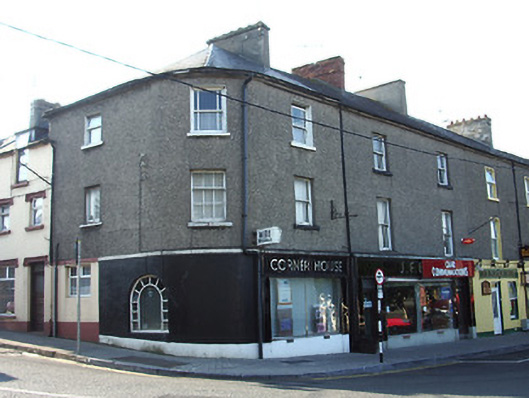 Corner Househouse · 118 yd
 Cahir CastleHeritage attraction · 369 ydSiege of Cahir Castlesiege · 486 yd
 Ladys WellHoly well · 508 yd
 Caher AbbeyHeritage attraction · 629 yd
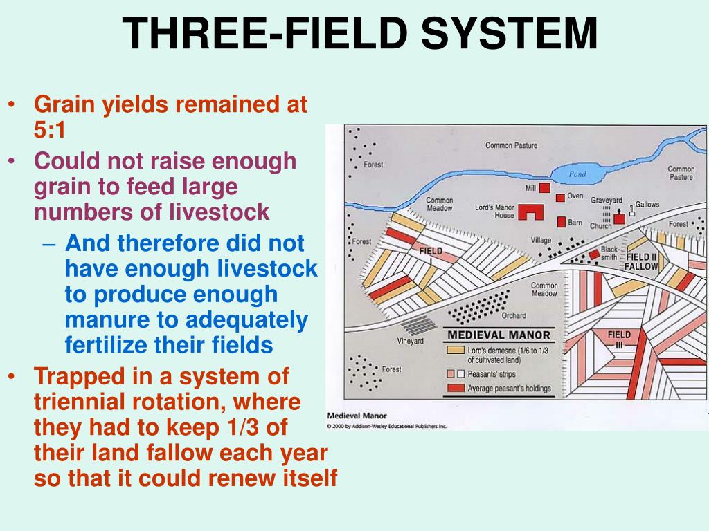 Field system in Caherabbey LowerField system · 1366 yd
 Site of CastleCastle, unclassified · 1369 yd
 Pedunculate OakPedunculate Oak · 1708 yd
 European YewEuropean Yew · 1.3 mi
 Castle (in ruins)Castle, unclassified · 1.7 mi
 Slieveanard NE TopMountain / peak · 3.1 mi