What is recorded here
Situated in pasture, on glebe land with Rathconnell Court and castle site 85m to NW. Rathconnell church ruins (WM019-041-----) stands in centre of roughly D-shaped graveyard (approx. dims. 58m N-S x 58m E-W) enclosed by post-1700 stone wall with entrance gate and stone stile at W end of N wall (CUCAP BGH103/104). The graveyard wall curves from SSE-S to SSW which may indicate presence of an earlier ecclesiastical enclosure. The graveyard surrounding the church is now closed to burials and is covered in scrub overgrowth making detailed examination impossible. A second stone stile is visible at W end of SW wall close to SW corner of graveyard.
Compiled by: Caimin O'Brien
Date of upload: 03 April 2019
The monument record does not grant public access. Check the route and ask the landowner before entering private land.
- What survives
- Recorded monument
Places near here
 Ecclesiastical enclosure in RathconnellEcclesiastical enclosure · 1 yd
 Church (in Ruins)Church · 12 yd
 Site of CastleCastle, unclassified · 133 yd
 Partially hachuredFairy fort / earthen ringfort · 962 yd
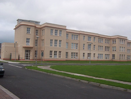 Saint Loman's Hpspitalhospital/infirmary · 1.2 mi
 Augustinian Monks Memorial StatueMemorial · 2.1 mi
 CastleCastle, unclassified · 2.3 mi
 Long PlantingForest · 2.3 mi
 United Nations War MemorialMemorial · 2.4 mi
 Saint Brigid's WellSpring · 2.5 mi
 Lady's IslandWood · 3.5 mi
 Church IslandIsland · 3.7 mi