What is recorded here
On W-facing hillslope within Connemara National Park. Reputedly associated with a St Maol Roc (Tully Cross I.C.A. 1985, 9), but regarded in local tradition as a penal burial ground (pers. comm. T. Robinson). Named but not indicated on 1st ed. of OS 6-inch map. It now consists of a subcircular area (N-S 40m, E-W 50m) enclosed by a low and collapsed stone wall from E through S to W. The interior is very overgrown and the graves, all plain headstones, are concentrated at S end. A holy well (GA023-023001-) lies immediately to N.
The above description is derived from the published 'Archaeological Inventory of County Galway Vol. I - West Galway'. Compiled by Paul Gosling (Dublin: Stationery Office, 1993).
Date of upload: 05 August 2010
A portal dolmen; likely dating to the Neolithic or early Bronze Age. Its association with a local saint and traditional designation as a penal burial ground highlight its cultural and historical significance in the region.
The monument record does not grant public access. Check the route and ask the landowner before entering private land.
- What survives
- Recorded monument
Places near here
 Tober MweelinHoly well · 37 yd
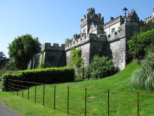 Kylemore Abbeydemesne walls/gates/railings · 1218 yd
 Ice Ho.Icehouse · 1247 yd
 BenbaunMountain / peak · 1285 yd
 Monterey PineMonterey Pine · 1301 yd
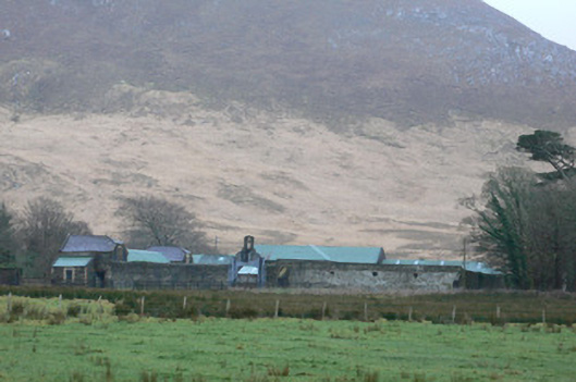 Kylemore Farm Housefarmyard complex · 1418 yd
 Cnoc BreacMountain / peak · 1488 yd
 Cabbage treeCabbage tree · 1.5 mi
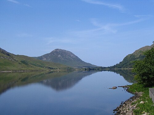 Binn GhuaireMountain / peak · 1.6 mi
 Connemara National ParkNational park · 2.8 mi
 Lettergesh BeachBeach / strand · 3.8 mi
 Glassilaun BeachBeach / strand · 4.2 mi