What is recorded here
The parish church of Maudlintown (WX037-041001-) is situated on a low-lying landscape within a rectangular graveyard (dims. c. 50-55m E-W; c. 35m N-S) defined by masonry walls. The graveslab (WX037-042003-) is in the vicinity of the N side of the church, and the site of St Mary Magdalene's Well (WX037-040----) is c. 150m to the NE. Archaeological testing (13E0258) by Mary Henry immediately S of the graveyard produced no related material (excavations.ie 2013:173). Archaeological monitoring (21E0023) by David Murphy of a cable trench on the other side of the road from the graveyard at W produced no related material (excavations.ie 2021:002).
Compiled by: Michael Moore
Date of upload: 14 December, 2012
Amended: 23 December 2021
The monument record does not grant public access. Check the route and ask the landowner before entering private land.
- What survives
- Recorded monument
Places near here
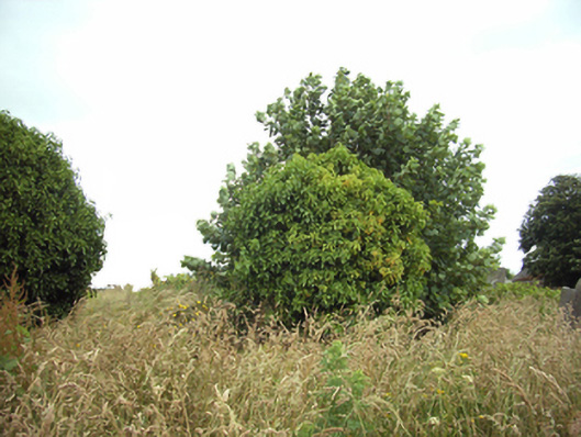 graveyard/cemeterygraveyard/cemetery · 10 yd
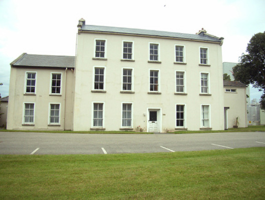 Rockland Housecountry house · 111 yd
 St. Mary Magdalenes WellHoly well · 183 yd
 Trinity Well (Site of)Holy well · 731 yd
 Lock Out GateMemorial · 767 yd
 Sack of Wexfordsiege · 973 yd
 Siege of Wexfordsiege · 976 yd
 Michael CollinsMemorial · 1389 yd
 Three Sisters River CruisesHeritage attraction · 1632 yd
 Site of CastleCastle, unclassified · 1.2 mi
 Castle (in ruinis)Castle, tower house · 2.3 mi
 Douglas-firDouglas-fir · 3.2 mi