
What is recorded here
Grave Yd holds Kilcrumper church ruins and graves cut into the church itself, witness that the living kept burying their dead inside the wreck long after the roof failed. The low stone wall still draws the boundary on the southwest crossroads, while uninscribed markers crowd the north like a village that stopped naming its dead but never stopped remembering them.
On SW side of crossroads. Roughly rectangular graveyard (c. 68m NNE-SSW; c. 60m max. WNW-ESE), enclosed by low stone wall. Ruin of parish church of Kilcrumper (14442) just N of centre. In use; many low uninscribed grave markers, especially to N of church. Graves in interior of church, including oldest noted headstone, dated to 1769; Rice (1922, 98) noted headstones dating to 1740s.
The above description is derived from the published 'Archaeological Inventory of County Cork. Volume 4: North Cork' (Dublin: Stationery Office, 2000). In certain instances the entries have been revised and updated in the light of recent research.
Date of upload/revision: 14 January 2009
The monument record does not grant public access. Check the route and ask the landowner before entering private land.
- What survives
- Recorded monument
Places near here
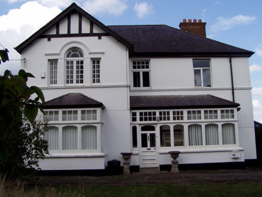 Ballinamona Househouse · 845 yd
 Enclosure in BoherderrogeEnclosure · 1300 yd
 Carrigeen Househouse · 1338 yd
 Burial in GarraunigerinaghBurial · 1563 yd
 GarraunigerinaghCastle(inRuins) (1936)*Castle, tower house · 1760 yd
 Kilworth CastleCastle · 1.2 mi
 Old Railway ViaductViewpoint · 1.4 mi
 Tourist InformationVisitor information · 1.4 mi
 Kent BridgeMemorial · 1.4 mi
 Graveyard in FermoyGraveyard · 1.4 mi
 Ballybrack WoodForest · 2.6 mi
 Strawhall WoodForest · 2.7 mi
Other information
Photo: Credit not shown in the picture search · Rights wording not checked; contact us if this picture should be removed