What is recorded here
Kilmacnevan monastic site placed on the Register of Historic Monuments in 1989. Extract from Iris Oifigiúil 25th April 1989. Situated on well drained grass land, a trapezoidal-shaped graveyard (approx. diam. 33m NE-SW; 29m NW-SE; wall T 0.5m) enclosed by a mortared stone wall dating from 1863. Graveyard entered through shouldered-arched gateway in centre of S wall with stile immediately to E. 1863 date inscribed with the name 'KILLMACKNEVAN' on the lintel of the entrance arch. A second stone stile can be seen at W end of N wall of graveyard. The interior of the graveyard contains memorials dating from the 18th century to the present time. Medieval ruins of Kilmacnevan Church (WM011-015---) in N quadrant. To S of the church there is the possible base and head of a high cross (WM011-115003-). A linear earthen bank can be seen running W from the SW angle of the graveyard and other earthworks are visible in the field immediately to the W. The graveyard possibly stands inside a larger early Christian ecclesiastical enclosure (WM011-015002-) containing numerous low earthworks which may represent a medieval settlement.
See attached plan of monument surveyed and drawn by the ASI.
Compiled by: Frank Coyne and Caimin O'Brien
Date of upload: 28 August 2017
The monument record does not grant public access. Check the route and ask the landowner before entering private land.
- What survives
- Recorded monument
Places near here
 CrossCross, High cross · 5 yd
 Church (in Ruins)Church · 13 yd
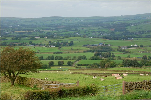 OutlinedFairy fort / earthen ringfort · 343 yd
 Penitential station in Laragh (moygoish By.)Penitential station · 626 yd
 CastleCastle, unclassified · 767 yd
 Milltown Castle in ruinsCastle, unclassified · 1.7 mi
 Ancient Ring FortWood · 2.1 mi
 Baronstown ForestWood · 2.7 mi
 Craft WorkshopHeritage attraction · 7.1 mi
 Guest ServicesVisitor information · 7.1 mi
 Newcastle WoodsForest · 7.8 mi
 National Famine WayWalking route · 11 mi