What is recorded here
Situated in a fold on the NE-facing slope of what was once the Great Island (dims c. 2.5km N-S; c. 800m E-W at S to 1.8km E-W at N) in the N-S River Barrow/Nore but the channel (Wth c. 500-600m) around the NE and E sides of the island is long silted up and reclaimed. The site of an early church and the parish church of Kilmokea (WX039-018002-) is within a small D-shaped graveyard (dims. c. 32m E-W; c. 17-27m N-S) defined by masonry walls on the S side of an E-W road. Within the graveyard is a small high cross (WX039-018004-), a circular font (WX039-018009-) and a crude granite cross base (WX039-018010-). The sheela-na-gig (WX039-088----) was found in the garden of Kilmokea House and is presumed to have come from the graveyard. Archaeological testing (02E0072) c. 70m ENE of the graveyard and S of the E-W public road uncovered evidence of a ditch with an internal bank on the line of the ecclesiastical enclosure (WX039-018007-), but further testing (07E0941) outside the line of the enclosure c. 120m to the ENE of the graveyard and N of the public road produced no related material (Stafford 2010). Archaeological testing (10E0126) outside the W edge of the enclosure c. 225m W of the graaveyard produced no related material (Stafford 2013).
Compiled by: Michael Moore
Date of upload: 28 January, 2013
The monument record does not grant public access. Check the route and ask the landowner before entering private land.
- What survives
- Recorded monument
Places near here
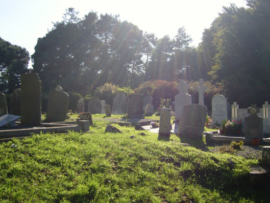 graveyard/cemeterygraveyard/cemetery · 2 yd
 (Site of) Kilmilea ChurchChurch · 10 yd
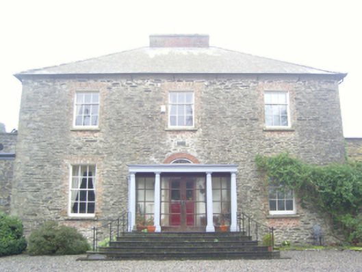 Kilmokea Houserectory/glebe/vicarage/curate's house · 59 yd
 Enclosure in Great IslandEnclosure · 116 yd
 Goat IslandIsland · 856 yd
 CastleRuins · 1314 yd
 (Sites of) CastlesCastle, unclassified · 1353 yd
 Cheek PointHeadland · 1.8 mi
 Dunbrody Abbey Visitor CentreHeritage attraction · 1.9 mi
 Dunbrody Abbey Hedge MazeHeritage attraction · 1.9 mi
 9/11 MemorialMemorial · 5.5 mi
 Saltmills Explosion MemorialMemorial · 8.6 mi