What is recorded here
Roughly oval graveyard (map dims. c. 100m N-S; c. 120m E-W) within which are the remains of a church (CW020-002001-), a font (CW020-002004-); a cross (CW020-002003-) and a children's burial ground (CW020-002002-) immediately N of graveyard.
Compiled by: Jean Farrelly
Date of upload: 19 August 2011
The monument record does not grant public access. Check the route and ask the landowner before entering private land.
- What survives
- Recorded monument
Places near here
 Cross in DrumfeaCross · 1 yd
 Font in DrumfeaFont · 59 yd
 Saint Laserian's Catholic Churchchurch/chapel · 60 yd
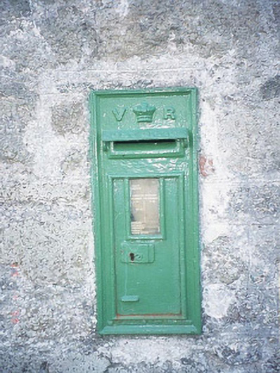 post boxpost box · 70 yd
 Rathnageeragh Castle (in ruins)Castle, unclassified · 1259 yd
 Sessile OakSessile Oak · 1.3 mi
 CastleCastle, unclassified · 1.3 mi
 SlievebawnMountain / peak · 1.9 mi
 Carrig WoodWood · 2.7 mi
 CroaghaunMountain / peak · 3.0 mi
 Irish Hangliding and Paragliding AssociationMemorial · 3.8 mi
 Mount LeinsterMountain · 3.9 mi