What is recorded here
Situated on the W edge of a small steep gully; the area slopes gently S to the Vartry Reservoir. A rectangular graveyard (60m N-S; 40m E-W) defined on the N and W sides by a low earth and stone bank (Wth 1.4m) and an external fosse (Wth 1.5m), possibly part of an earlier enclosure. The nave and chancel church (WI018-007001-) lies towards the NW corner. An earthfast granite bullaun, with basin cut into the steeply sloping upper surface, lies 35m NNW.
The above description is derived from the published 'Archaeological Inventory of County Wicklow' (Dublin: Stationery Office, 1997). In certain instances the entries have been revised and updated in the light of recent research.
Date of upload/revision: 13 February 2013
The monument record does not grant public access. Check the route and ask the landowner before entering private land.
- What survives
- Recorded monument
Places near here
 Church (in Ruins), Grave Yd. (Disused)Church · 13 yd
 Enclosure in KnockatempleEnclosure · 799 yd
 Enclosure in RoundwoodEnclosure · 1064 yd
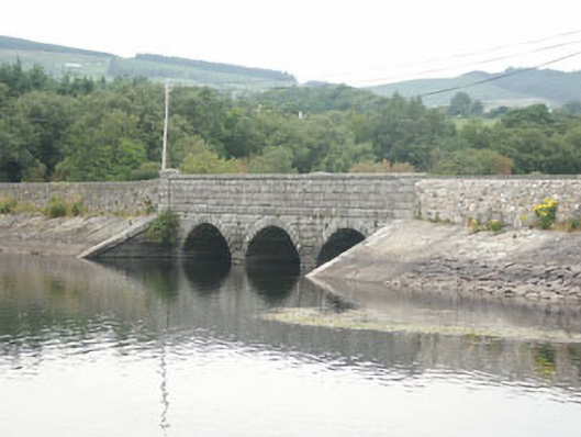 Waters Bridgebridge · 1178 yd
 Victor's WayHeritage attraction · 1.7 mi
 BallinacorbegMountain / peak · 2.0 mi
 BallinafunshogeMountain / peak · 2.6 mi
 Devil's Glen WaterfallWaterfall · 2.7 mi
 Carrigower BogNature reserve · 2.8 mi
 Castle Kevin (in Ruins)Castle, motte and bailey · 3.0 mi
 Ballinastoe WoodForest · 3.3 mi
 J.B. Malone MemorialMemorial · 4.0 mi