What is recorded here
Abutting the inner edge of the perimeter of rath (RO008-015001-) at SE. Rectangular grass-covered area (ext. dims 21m N-S; 14m E-W) defined by a grass-covered stone spread (Wth 3.5m; H 0.1-0.2m at W) with some inner facing stones visible on all sides except the E. It contains four lines of grave-markers (dims c. 0.25m x 0.1m; H 0.3m), and a single grave with head and foot stones is in the NW quadrant of the rath.
Compiled by: Michael Moore
Date of upload: 24 August 2010
The monument record does not grant public access. Check the route and ask the landowner before entering private land.
- What survives
- Recorded monument
Places near here
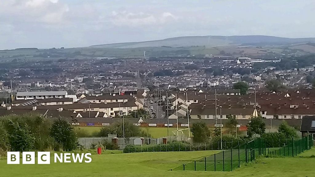 IndicatedFairy fort / ringfort · 25 yd
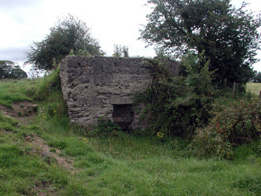 Historic buildingOfficially recorded historic building · 565 yd
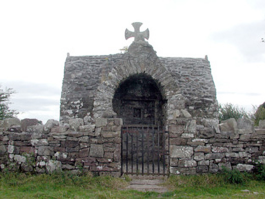 Four Altarschurch/chapel · 598 yd
 LissagarrymoghFairy fort / earthen ringfort · 836 yd
 CastleCastle, unclassified · 1.6 mi
 Casatle (ruins)Castle, unclassified · 3.3 mi
 Bockagh HillMountain / peak · 3.3 mi
 Bawn IslandIslet · 3.7 mi
 Rose PointHeadland · 4.0 mi
 Castle PointHeadland · 4.2 mi
 Crow IslandIslet · 4.2 mi
 Square WoodForest · 5.5 mi