What is recorded here
Located in pasture, on a gentle E-facing slope. Sub-rectangular area (dims. 38m N-S; 47m E-W) defined by mortared limestone wall (H 1.25-1.5m) to S (L 50m), W (L 40m) and N (L 44m) and stone-faced scarp (H 1.3m; L 33m) along roadside to E. Interior of graveyard uneven. Rectangular area (dims. 26m N-S; 25m E-W) in NE-quadrant defined by slight scarp (Wth 1.9m; H 0.5m) to S and W may indicate outline of an earlier enclosure. Remains of Ballynaclogh Church (LI024-077001-) in E quadrant and concentration of headstones within. Earliest headstone noted 1863 and most recent 2006. Rectangular area (dims. 38m N-S; 22m E-W) forming W-half of graveyard recently cleared back exposing rock outcrop; no headstones or gravemarkers noted. Accessed by gateway or stone steps to SE. Named 'Grave Yard' on current edition OS 6-inch map.
The monument record does not grant public access. Check the route and ask the landowner before entering private land.
- What survives
- Recorded monument
Places near here
 Ballynaclogh Church (in ruins)Church · 27 yd
 BarrowBarrow, ring-barrow · 724 yd
 Not shownField system · 826 yd
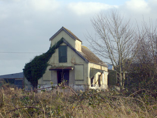 Race Creamerycreamery · 1362 yd
 (Site of) CastleCastle, unclassified · 1563 yd
 Pallas MoatCastle, motte · 1596 yd
 ToberagaddySpring · 1.2 mi
 KnockseefinMountain / peak · 1.7 mi
 St. Patrick's WellSpring · 3.2 mi
 Kilteely HillMountain / peak · 3.5 mi
 Flat cemetery in Knockainy WestFlat cemetery · 7.3 mi
 RathbaunArchaeological place · 1102 yd