What is recorded here
Situated in a shallow NE-SW valley with a stream c. 30m to the NW. The site of the parish church of Kilrush (WX010-007001-) is within a circular or D-shaped graveyard (diam. c. 65-70m) defined by a stone-faced earthen bank with trees NE-S-W and a masonry wall at N where there is a road. There was a bullaun stone (WX010-007003-) with two basins outside the graveyard at W. There are no visible remains of an older church structure at ground level.
Compiled by: Michael Moore
Date of upload: 10 April, 2012
This remains an important historical record, but the official description says the monument is no longer visible or has been destroyed. The monument record does not grant public access. Check the route and ask the landowner before entering private land.
- What survives
- No visible remains or recorded as destroyed
Places near here
 Kilrush Ch.Church · 25 yd
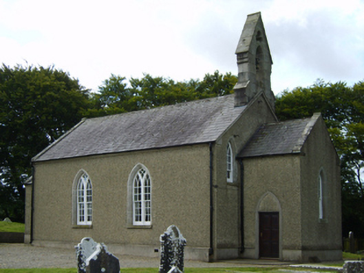 Saint Brigid's Church (Kilrush)church/chapel · 32 yd
 Borris Castle (in ruins)Gatehouse · 1709 yd
 IndicatedFairy fort / earthen ringfort · 1.1 mi
 Clohamon Castle (in ruins)Castle, unclassified · 1.8 mi
 Ryland Castle (in ruins)Castle, unclassified · 2.0 mi
 European YewEuropean Yew · 2.0 mi
 European LarchEuropean Larch · 2.0 mi
 Gibbet HillMountain / peak · 2.1 mi
 1798 rebellion Battle of Newtownbarry (AKA Bunclody) commemorative plaqueMemorial · 2.9 mi
 Bunclody 1798 Bicentenary MemorialMemorial · 2.9 mi
 SlieveboyMountain / peak · 4.0 mi