What is recorded here
On the crest of a natural rise in gently undulating terrain, both tillage and pasture in the surrounding fields. The church (TS81-010001-) is positioned close to the road on the N side of the irregularly-shaped graveyard (max. dims. 47m N-S; 59m E--W). The gravestones within the church and in the surrounding graveyard are 18th, 19th and 20th century in date. The graveyard which may form part of a larger enclosure (TS081-010002-).
Compiled by: Jean Farrelly
Date of upload: 07 January 2014
The monument record does not grant public access. Check the route and ask the landowner before entering private land.
- What survives
- Recorded monument
Places near here
 Church (in ruins)Church · 17 yd
 Ecclesiastical enclosure in WhitechurchEcclesiastical enclosure · 29 yd
 IndicatedEnclosure · 657 yd
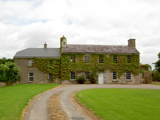 Garryroan Househouse · 816 yd
 Garrycloher WoodForest · 1209 yd
 Bawn in CloheenafishogeBawn · 1.7 mi
 Knockane Castle ruinsCastle · 1.7 mi
 European YewEuropean Yew · 2.8 mi
 SlieveanardMountain / peak · 3.0 mi
 Slieveanard NE TopMountain / peak · 3.2 mi
 Cahir CastleHeritage attraction · 3.3 miSiege of Cahir Castlesiege · 3.3 mi