What is recorded here
On a pronounced bluff between the steeply sloping S side of the Nore river valley and the broad plateau to the S, in grassland. A stream runs along the SE boundary flowing c. 900m to the NE to meet the Nore. A medieval church (KK014-056001-) and probably associated residential tower (KK014-056003-) are located in the NE quadrant of this large, roughly rectangular graveyard (dims. c. 70m NW-SE; c. 56m NE-SW). There are extensive views in all directions.
The OS Letters (1839) describe, ‘a large burying ground, and a bit of the wall of a Church in the Townland of Druim Deilgneach, i.e., the Thorny Ridge or Hillock. Part of a castle wall joins this ruin at the east end and portion of a court or yard wall remain on the south side’ (O’Flanagan (ed.) 1930, vol. 2, 77-8 (25-6)). On the 1st (1839) ed. OS 6-inch map the extent of the graveyard is not delimited within a sub-rectangular field, however, by the 1946-7 revision it is indicated as occupying the SE portion of the field, with a quarry extending across the N portion of the field.
Described in the OS Letters (1839) as ‘a large burying ground’ (O’Flanagan (ed. ) 1930, vol. 2, 77 (25)) and by Carrigan (1905, vol. 3, 195-6) as, ‘a large and much frequented graveyard here, which takes in the top and south and west sides of the hill on which the church is situated’. The headstones that are visible appear to be 18th-20th century in date.
Compiled by: Jean Farrelly
Date of upload: 8 June 2020
The monument record does not grant public access. Check the route and ask the landowner before entering private land.
- What survives
- Recorded monument
Places near here
 Castle (in ruins)Castle, unclassified · 19 yd
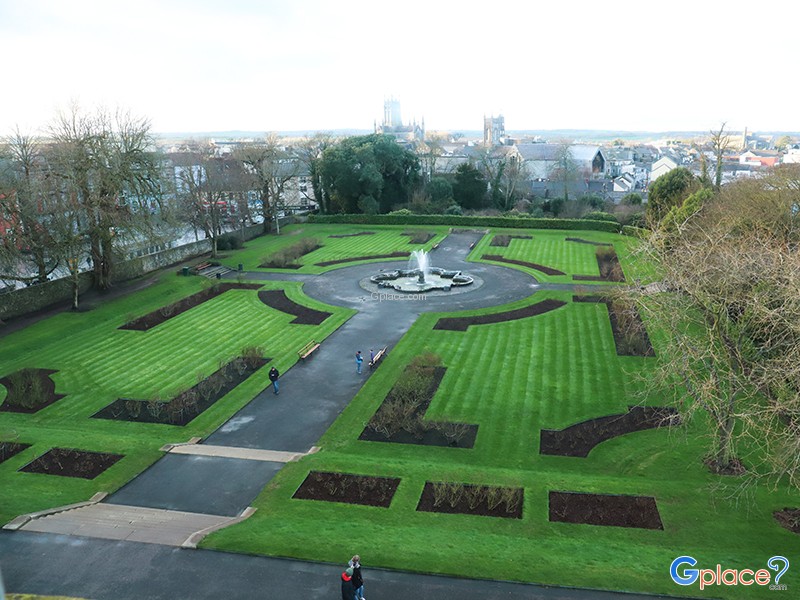 Enclosure in Keatingstown (crannagh By.)Enclosure · 160 yd
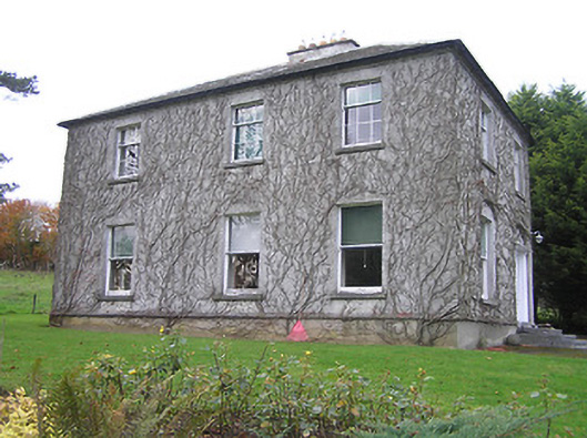 Troyswood Househouse · 1121 yd
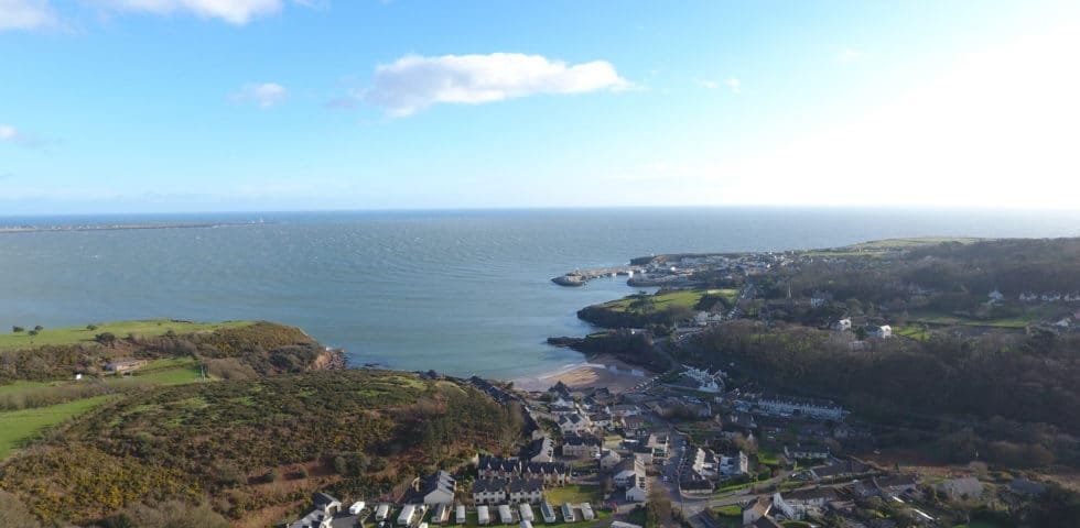 Enclosure in Dunmore WestEnclosure · 1300 yd
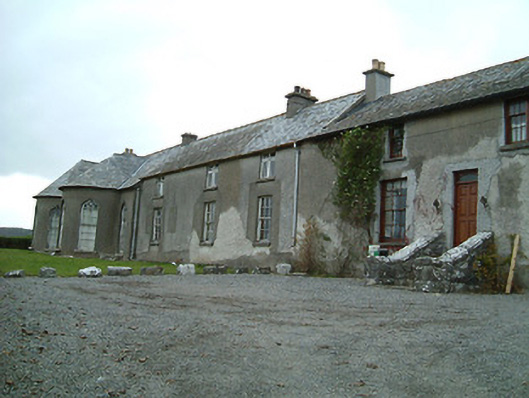 Dunmore Cottagehouse · 1692 yd
 The RockCastle, ringwork · 1.4 mi
 Rock WoodWood · 1.4 mi
 Lady DesartMemorial · 1.4 mi
 Hollow PlantationWood · 1.5 mi
 Graveyard in ThreecastlesGraveyard · 2.2 mi
 Jurassic NewparkHeritage attraction · 2.3 mi
 Stephens Barracks MuseumMuseum · 2.6 mi