What is recorded here
Situated on the W-facing slope of a drumlin. A small triangular area (dims c. 50m E-W; c. 50m N-S at E) with the apex at W between the main road from Monaghan to Castleshane (N2) and a minor road off it to the NE is described in italic lettering as a ‘Grave Yard’ only on the 1834 edition of the OS 6-inch map. The area to the E became the location where St Macarthan’s Roman Catholic Cathedral was built in 1861-92 under Bishops Mac Nally and James Donnelly to a design of James Joseph McCarthy in the gothic revival style (McKenna 1920, 1, 110-17). No visible evidence of the graveyard survives. It may have been attached to the Roman Catholic chapel of Latlorcan which was c. 450m to the SE, although no reference is made to it (Moriarty 2012).
Date of revised upload: 13 December 2017
The monument record does not grant public access. Check the route and ask the landowner before entering private land.
- What survives
- Recorded monument
Places near here
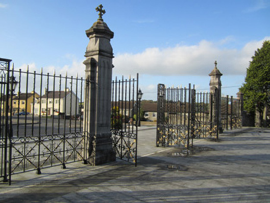 Saint Macartan's Catholic Cathedralgates/railings/walls · 16 yd
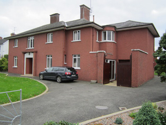 Aronahouse · 66 yd
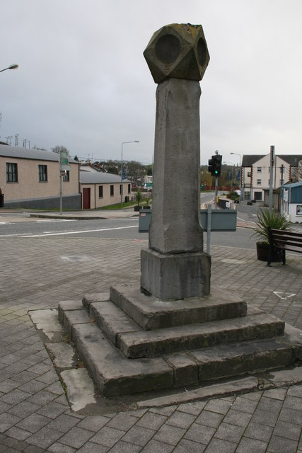 Old Cross SquareMonument · 502 yd
 Bawn in Roosky (monaghan By., Monaghan Par.)Bawn · 724 yd
 Rossmore MonumentMemorial · 772 yd
 Burial in Roosky (monaghan By., Monaghan Par.)Burial · 816 yd
 Monaghan County MuseumMuseum · 966 yd
 Mullaghmatt ForestWood · 1.2 mi
 European ashEuropean ash · 1.2 mi
 Banba GiantHeritage attraction · 1.8 mi
 Castleshane WaterfallWaterfall · 3.3 mi
 Rough HillMountain / peak · 4.2 mi