
What is recorded here
In generally level pasture, on a very slight rise. Graveyard consists of a sub-rectangular area (dims. 25m N-S; 65m E-W) defined by stone wall and mature tree field boundary to W (L 20m) and to S (L 68m), earthen field boundary (L 63m) to N; boundary (L c. 30m) to E is obscured by overgrowth. Interior entered via gate at N-end, W-wall. Even distribution of twentieth century headstones including frequent proportion of Celtic Crosses. Templebredon Church (LI033-037001-) off-centre to W has some twentieth century headstones within. Some earlier stones to E of church with earliest dating to 1790. Evidence of recent interment inserted into S-wall of church. Architectural fragments within church and two noted to E of church exterior.
The monument record does not grant public access. Check the route and ask the landowner before entering private land.
- What survives
- Recorded monument
Places near here
 Templebredon Church (in ruins)Church · 12 yd
 Enclosure in KnockaleganEnclosure · 453 yd
 BarrowBarrow, unclassified · 837 yd
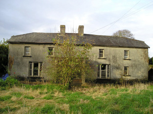 Derk Cottagehouse · 1150 yd
 Site of Ballyneety CastleCastle, unclassified · 1253 yd
 RathardCastle, ringwork · 1.4 mi
 St. Patrick's WellSpring · 2.6 mi
 Kilteely HillMountain / peak · 2.7 mi
 KnockseefinMountain / peak · 3.3 mi
 Flat cemetery in Knockainy WestFlat cemetery · 5.7 mi
 St Patrick's WellSpring · 6.5 mi
 Ballinvreena LoopVisitor information · 9.5 mi
Other information
Photo: Credit not shown in the picture search · Rights wording not checked; contact us if this picture should be removed