What is recorded here
Grave Yard stands half a kilometre east of Shanagarry village, a rectangular stone-walled enclosure holding chest tombs and headstones dating back to the 1740s. It occupies the ruined site of the ancient Kilmahon parish church, which had already collapsed by 1615, while a weather-beaten Protestant church built in 1800 later occupied the northern edge. The layering of forgotten faiths and buried bodies turns the quiet ground into a dense archive of local memory.
On W side of laneway, 500m E of Shanagarry village; rectangular graveyard (c. 30m N-S; c. 40m E-W) enclosed by stone wall. No visible surface trace of C of I church shown at N end on 1842 OS 6-inch map. This was built in 1800 (Lewis 1837, vol. 2, 169) and described in early part of present century as 'weather-beaten Protestant church, still used' (Anon. 1907-9). Site of ancient parish church (CO089-009002-) of Kilmahon which was in ruins by 1615 (Brady 1986, vol. 2, 278). Earliest inscribed headstones noted date from 1740s, also some chest tombs (Anon., ibid.).
The above description is derived from the published 'Archaeological Inventory of County Cork. Volume 2: East and South Cork' (Dublin: Stationery Office, 1994). In certain instances the entries have been revised and updated in the light of recent research.
Date of upload/revision: 14 January 2009
The monument record does not grant public access. Check the route and ask the landowner before entering private land.
- What survives
- Recorded monument
Places near here
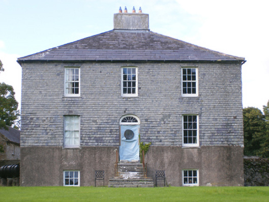 Glebe Houserectory/glebe/vicarage/curate's house · 196 yd
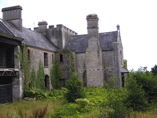 Penn Castle / Penn House / Shanagarry Castlehouse · 511 yd
 Garryvoe BeachBeach / strand · 1.1 mi
 Fulacht fia in RooskaghFulacht fia · 1.2 mi
 Enclosure in Ballybane (imokilly By.)Enclosure · 1.2 mi
 Garryvoe Castle (in Ruins)Castle, tower house · 1.8 mi
 Mary StandfordMemorial · 1.9 mi
 P.N.L.B. Mary StandfordWreck · 2.0 mi
 Ballycotton Island (Small)Islet · 2.2 mi
 CastleCastle, tower house · 2.3 mi
 Ballycotton IslandIslet · 2.5 mi
 Mitchell's WoodWood · 3.9 mi