What is recorded here
Located on a SE-facing slope on the W side of the N-S Finisk River, with the stream c. 200m to the E. The parish church of Modeglio is within a D-shaped graveyard (dims. c. 60m NE-SW; c. 50m NW-SE) backing onto a NW-SE road at SW. (Power 1897b, 224-7)
Power, Rev. P. (1897b) The ancient ruined churches of Waterfoed. WAJ 3, 3-12, 72-8; 216-227.
Compiled by: Michael Moore. Date of upload: 23rd March, 2011
The monument record does not grant public access. Check the route and ask the landowner before entering private land.
- What survives
- Recorded monument
Places near here
 Church in ruinsChurch · 12 yd
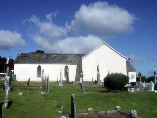 Catholic Church of Our Lady of the Assumptionchurch/chapel · 53 yd
 (Site of) LisnagreeFairy fort / ringfort · 261 yd
 Embanked enclosureFairy fort / ringfort · 687 yd
 Black HillMountain / peak · 1.5 mi
 Abbey (in ruins)Castle, tower house · 1.8 mi
 Kilgreany CaveCave · 3.1 mi
 Coillte infoboardVisitor information · 3.3 mi
 site of CastleCastle, unclassified · 3.7 mi
 Glenshelane Red WalkWalking route · 3.7 mi
 Glenshelane WoodsForest · 4.0 mi