What is recorded here
Situated atop hillock with good views of surrounding countryside. Rathgarve church (WM003-068----) ruins stand in the centre of a D-shaped graveyard with possible medieval roadway running N-S forming E boundary of graveyard. A tower house (WM003-066----) and mill (WM003-066002-) stands 430m to the S with a wayside cross (WM003-044----) 490m to the NNW, a 17th century wayside cross (WM003-069----) lies 100m to S with motte and bailey (WM003-070----) 115m to SSE.
Described in 1980 as 'The graveyard (WM003-068001-) is a roughly D-shaped enclosure (approx. dims. 66m N-S by 42m E-W) bounded by a post-1700 stone wall, the straight side of the D is along a N-S laneway on the E, there are no indications of a larger enclosure extending to the E of this laneway. The ground there slopes down away from the lane. Inside the wall and at varying distances from it there is a steep but fairly low scarp in places which may mark the outline of an earlier & smaller enclosure. The ground outside the wall is at a lower level than inside it as if the wall was built against a scarp. The graveyard contains a large no. of gravestones mainly 19th and 20th century, but possibly also some later 18th century, difficult to decipher the inscriptions. The monument is on a rise on the summit of a large N-S ridge in undulating pasture with very good views all round' (SMR file 1980).
Compiled by: Caimin O'Brien
Date of upload: 19 July 2010
A D-shaped medieval graveyard associated with the ruins of Rathgarve church, likely dating to the late medieval period. Its location and layout suggest a long-standing settlement and religious presence in the area.
The monument record does not grant public access. Check the route and ask the landowner before entering private land.
- What survives
- Recorded monument
Places near here
 Church (in Ruins)Church · 13 yd
 Ecclesiastical enclosure in RathgarveEcclesiastical enclosure · 26 yd
 CrossCross, Wayside cross · 143 yd
 Hachured, dotted outlineCastle, motte and bailey · 192 yd
 CastleCastle, tower house · 532 yd
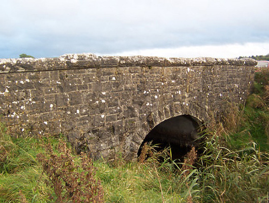 Stonestown Bridgebridge · 875 yd
 European ashEuropean ash · 1.4 mi
 Silver FirSilver Fir · 2.0 mi
 Rock of CurryCliff · 2.2 mi
 Mullaghmeen ForestPicnic place · 2.9 mi
 Fore AbbeyHeritage attraction · 3.1 mi
 Mullaghmeen Red WalkWalking route · 3.2 mi