What is recorded here
Located at the W edge of a fairly level landscape and at the crest of the W-facing slope of the deep valley (Wth of top c. 250m; D c. 10m) of the S-N Hurley River, with the stream c. 150m to the W. The parish church of Rathfeigh (ME032-027----) is within a neglected rectangular graveyard (dims c. 55m NE-SW; c. 35m NW-SE) defined by masonry walls, with headstones dating from c. 1740 to c. 1960. There is a watch-house (ext. dims 4m NE-SW; 3.25m NW-SE) with gables at NW and SE built half within the graveyard at the centre of the SE side and half in the NE-SW access laneway. It has a modernised doorway in the NE wall and two slit windows (H 0.4m) with wide outer splays on the NW wall that are flush with the interior of the graveyard.
Compiled by: Michael Moore
Date of upload: 23 January, 2015
The monument record does not grant public access. Check the route and ask the landowner before entering private land.
- What survives
- Recorded monument
Places near here
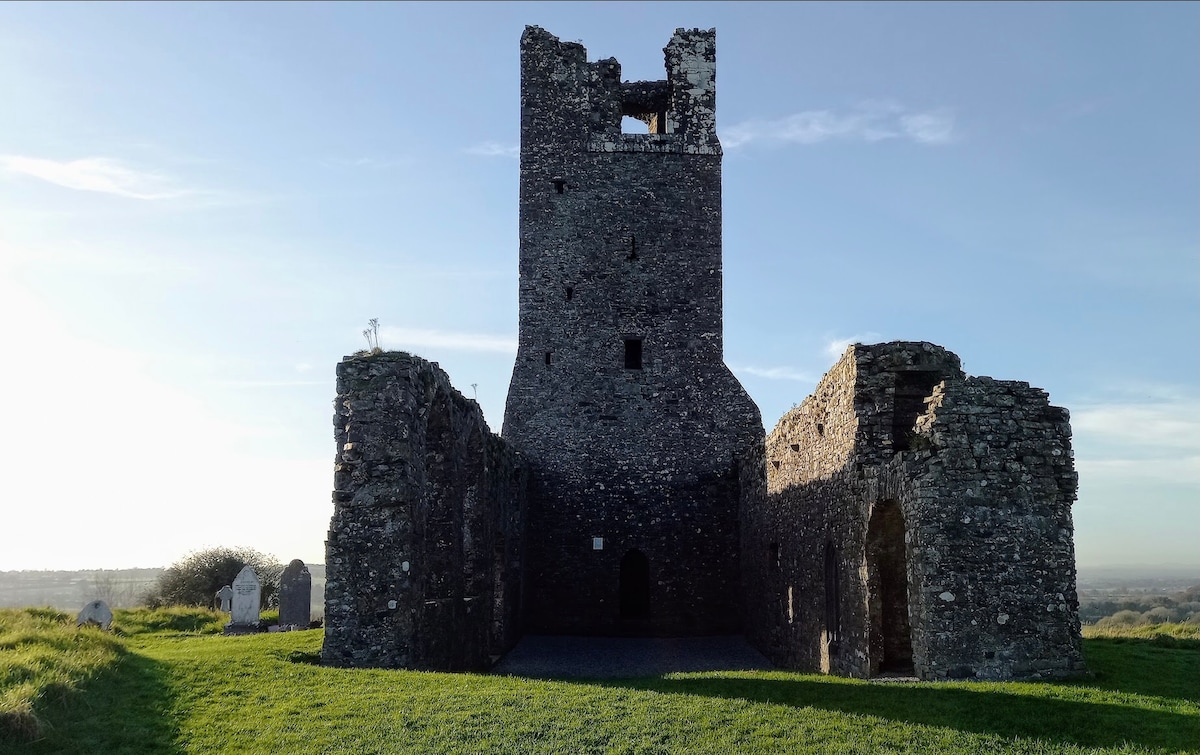
 RuinChurch · 10 yd
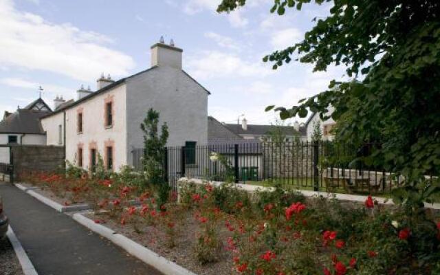
 CastleCastle, motte · 165 yd
 Enclosure in RathfeighEnclosure · 496 yd
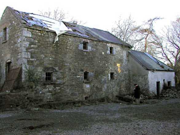 Delaney's Millmill (water) · 960 yd
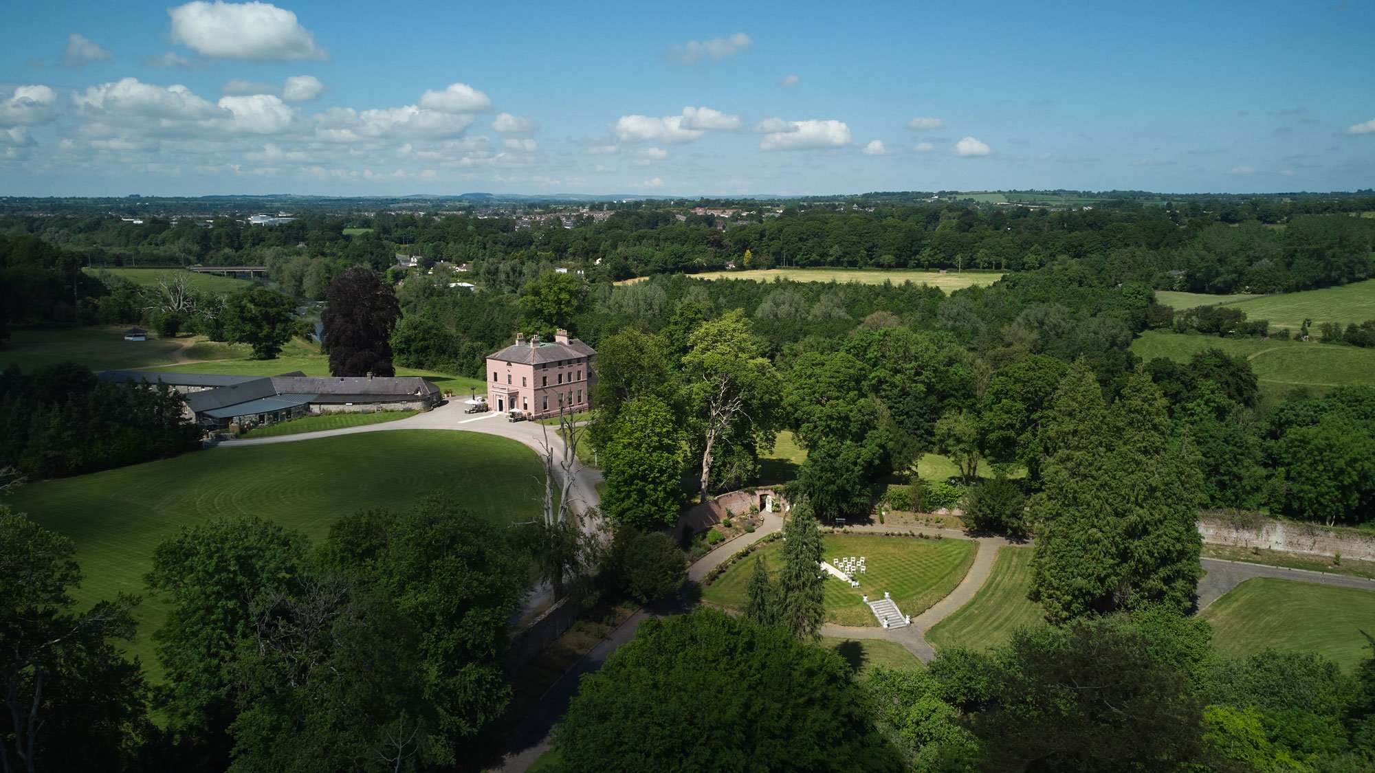 Enclosure in BellewEnclosure · 1651 yd
 Macetown CastleCastle, tower house · 1.1 mi
 Candle HillMountain / peak · 2.3 mi
 PuddenhillHeritage attraction · 2.4 mi
 European ashEuropean ash · 2.6 mi
 European BeechEuropean Beech · 2.8 mi
 Emerald ParkHeritage attraction · 3.4 mi
 Newtown HillMountain / peak · 3.6 mi