What is recorded here
On SE side of Rathcormack village; rectangular graveyard (c. 65m NE-SW; c. 55m NW-SE); in occasional use. Many late 18th century headstones, according to Power (1923, 192) earliest dated 1710. NE of centre C of I church (CO044-04902-) on site of ancient parish church of Rathcormack.
The above description is derived from the published 'Archaeological Inventory of County Cork. Volume 2: East and South Cork' (Dublin: Stationery Office, 1994). In certain instances the entries have been revised and updated in the light of recent research.
Date of upload/revision: 14 January 2009
The monument record does not grant public access. Check the route and ask the landowner before entering private land.
- What survives
- Recorded monument
Places near here
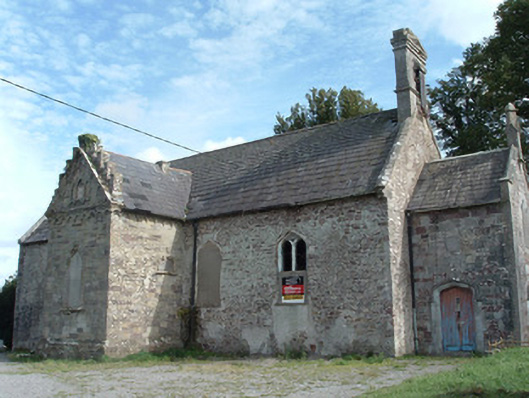 Christ Churchchurch/chapel · 14 yd
 Enclosure in RathcormackEnclosure · 52 yd
 M. Riordan Bakerhouse · 127 yd
 Fulacht fia in Lisnagar DemesneFulacht fia · 1430 yd
 Tower (in Ruins)Bawn · 1.1 mi
 Rathcormac massacremassacre · 2.1 mi
 Pope's WellSpring · 2.7 mi
 Corrin WoodsWood · 2.7 mi
 Coolmucy WoodWood · 3.2 mi
 Devonshire's HillMountain / peak · 3.5 mi
 Cappagh XViewpoint · 3.7 mi
 Graveyard in FermoyGraveyard · 4.2 mi