What is recorded here
Reference to a graveyard here, (O'Hanlon and O'Leary 1907, vol. 1, 301). All visible headstones post date 1700 AD. Described in the History of the Queens County as 'At Present, however, there are no ruins of ancient eccleisastical buildings there; but, tradition has it, that an old church (LA025-023001-) stood in the graveyard, where the present Protestant church has been erected' (O'Hanlon and O'Leary 1907, vol. 1, 301). D-shaped graveyard (int. dims. 46m N-S; 50m E-W) enclosed by a stone wall as indicated on current ed OS 6-inch map. Church site (LA025-023001-)in NE quadrant of graveyard.
The above description is derived from the published 'Archaeological Inventory of County Laois' (Dublin Stationery Office, 1995) compiled by P. David Sweetman, Olive Alcock and Bernie Moran. In certain instances the entries have been revised and updated in the light of recent research.
Date of upload/revision: 16 January 2012
The monument record does not grant public access. Check the route and ask the landowner before entering private land.
- What survives
- Recorded monument
Places near here
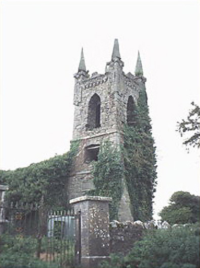 Rathaspick Churchchurch/chapel · 38 yd
 Enclosure in MilltownEnclosure · 792 yd
 Enclosure in Boley (ballyadams By.)Enclosure · 898 yd
 Bawn in MilltownBawn · 1050 yd
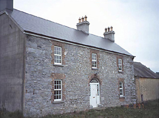 Milltown Househouse · 1077 yd
 Ballylehane CastleCastle, unclassified · 1220 yd
 DM PenderMemorial · 3.9 mi
 Brackney WoodForest · 5.0 mi
 Mass Rock WalkWalking route · 5.3 mi
 Cobbler's Castle WalkWalking route · 5.3 mi
 Mass RockNamed rock · 5.5 mi
 Gone FishingMemorial · 5.5 mi