What is recorded here
A sub rectangular area (dims. L c. 60m NW-SE; Wth c. 45m NE-SW) contains the site of a Dominican friary (KD019-030012-). According to Bradley et al. (1986 vol. 4, 370), 'There are no pre-1700 memorials nor is there any trace of buildings.'
Compiled by: Gearóid Conroy
Date of upload: 10 June 2011
Medieval Christian burial ground associated with a Dominican friary; dates to the 13th–16th centuries. It reflects monastic funerary practices and the historical presence of the Dominican Order in the region.
The monument record does not grant public access. Check the route and ask the landowner before entering private land.
- What survives
- Recorded monument
Places near here
 St. Dominicks Castle and AbbeyReligious house, Dominican friars · 20 yd
 Abbey Bridgebridge · 54 yd
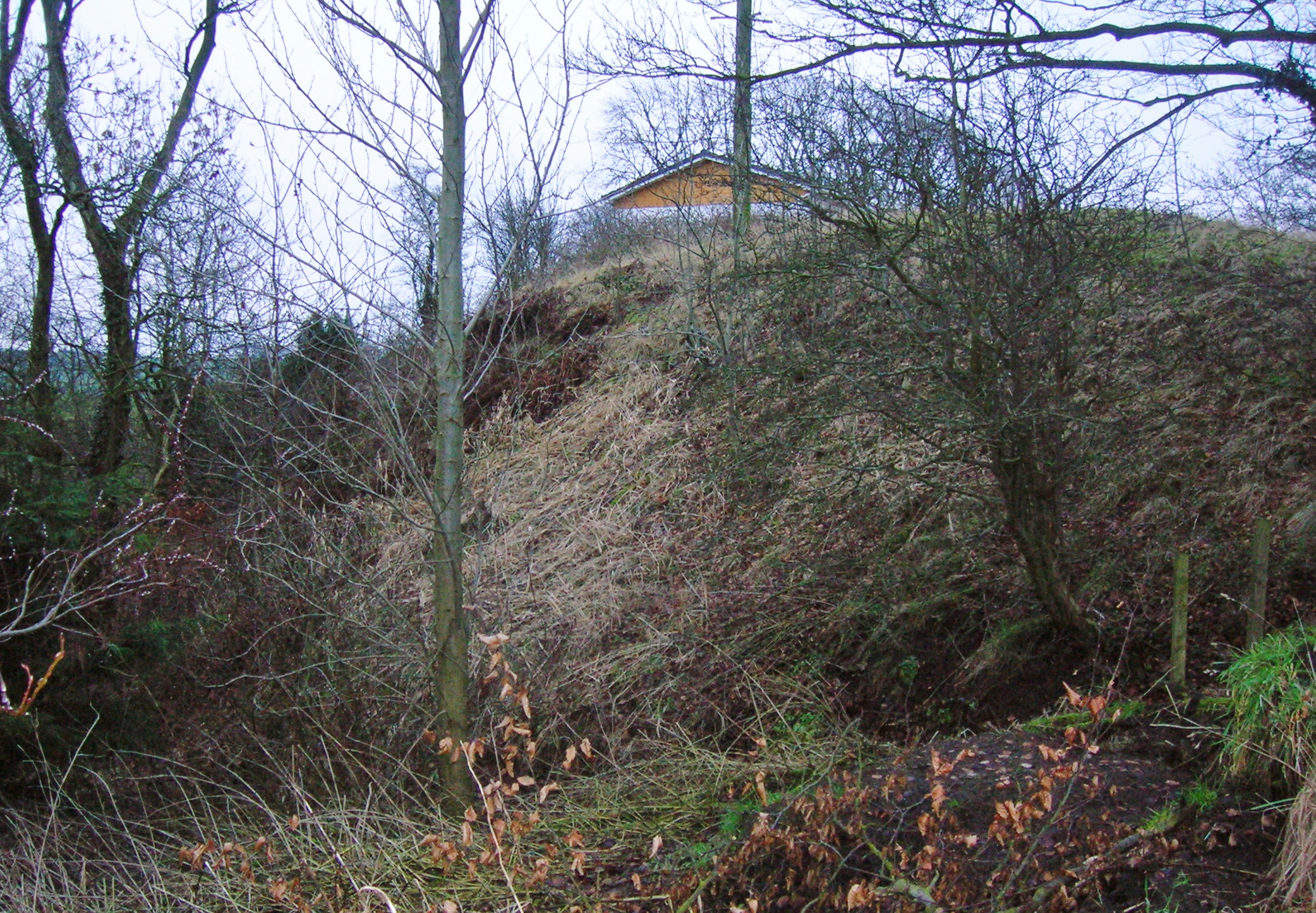 North MoteArchaeological place · 132 yd
 Site of Black CastleCastle, unclassified · 226 yd
 Not indciatedTown defences · 255 yd
 CastleCastle, tower house · 261 yd
 Poplar SquarePicnic place · 349 yd
 Monread District Park WoodsWood · 1599 yd
 Naas ParkWood · 1752 yd
 Museum of MotorsportMuseum · 4.1 mi
 Cupidstown HillMountain / peak · 7.1 mi
 Athgoe HillMountain / peak · 7.9 mi