What is recorded here
On E side of road; roughly rectangular graveyard (c. 70m E-W; c. 35m N-S) with inscribed headstones dating from 1768, though plaque dated 1700 in annexe on N side of ruined parish church of Mogeely (CO046-008002-) which stands at centre of graveyard. Enclosed by stone-faced earthen bank and by stone wall along roadside to W. Still in use.
The above description is derived from the published 'Archaeological Inventory of County Cork. Volume 2: East and South Cork' (Dublin: Stationery Office, 1994). In certain instances the entries have been revised and updated in the light of recent research.
Date of upload/revision: 14 January 2009
The monument record does not grant public access. Check the route and ask the landowner before entering private land.
- What survives
- Recorded monument
Places near here
 Mogeely Church (in Ruins)Church · 1 yd
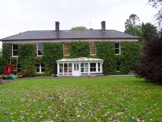 Mogeely Housecountry house · 204 yd
 Mogeely CastleCastle · 216 yd
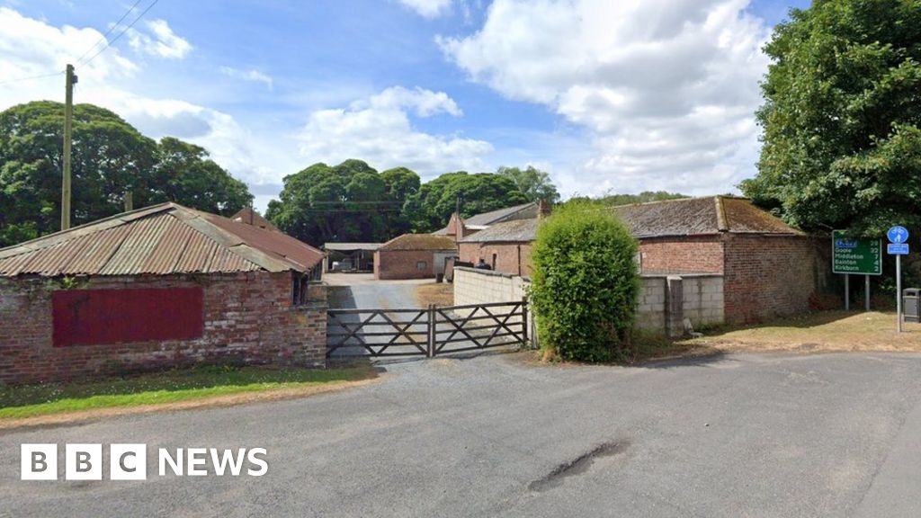 Settlement desertedSettlement deserted, medieval · 956 yd
 Graveyard in Curraheen (kinnatalloon By.)Graveyard · 1754 yd
 CastleCastle, unclassified · 1.4 mi
 Field system in ConnaField system · 1.6 mi
 Castlebrook forestWood · 1.6 mi
 Tallow HillMountain / peak · 3.1 mi
 Aghern CemeteryWood · 3.7 mi
 Mocollop Picnic SitePicnic place · 4.0 mi
 Salt HillMountain / peak · 4.8 mi