What is recorded here
Located on a gentle W-facing slope with a N-S stream c. 300m to the W. The site of the parish church of Old Ross (WX030-053001-) is within a rectangular graveyard (dims. c. 60m NE-SW; c. 55m NW-SE) defined by stone-faced earthen banks and hedges. There is a cross inscribed pillar (WX030-053003-) in the NE part of the graveyard.
Compiled by: Michael Moore
Date of upload: 15 August, 2012
The monument record does not grant public access. Check the route and ask the landowner before entering private land.
- What survives
- Recorded monument
Places near here
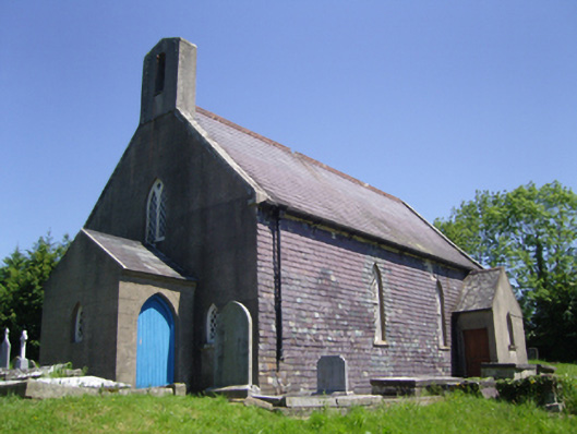 Saint Mary's Church (Old Ross or Saint Mary's)church/chapel · 16 yd
 St Marys ChurchChurch · 22 yd
 Site of CastleCastle, unclassified · 458 yd
 Old Ross MoteCastle, motte and bailey · 496 yd
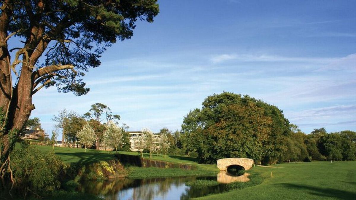 ToberballHoly well · 1047 yd
 Embanked enlcosureFairy fort / earthen ringfort · 1.2 mi
 Lacken HillMountain / peak · 2.4 mi
 Carrickbyrne HillMountain / peak · 2.5 mi
 Forest Of The DunbrodyForest · 2.5 mi
 Glenour MonumentMemorial · 4.4 mi
 Crutched FriarsMemorial · 5.0 mi
 Coolcliffe HouseRuins · 7.7 mi