What is recorded here
Marked 'Burying Gd.' on Taylor's 1783 Map of County Kildare, but not recorded on Noble and Keenan's earlier, 1752, map of the county. A large, roughly rectangular, roadside burial ground, with a fine entrance archway. Legible burial markers date from the 18th century to the modern.
Compiled by: Gearóid Conroy
Date of upload: 10 June 2011
A 18th-century roadside burial ground, likely of local Christian use; its early map references indicate historical continuity of burial practices in the area.
The monument record does not grant public access. Check the route and ask the landowner before entering private land.
- What survives
- Recorded monument
Places near here
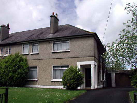 Nagle Househouse · 692 yd
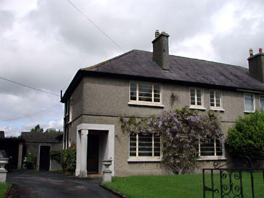 Menapahouse · 703 yd
 Monread District Park WoodsWood · 710 yd
 Naas ParkWood · 836 yd
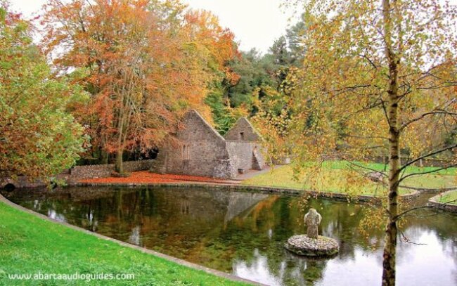 St. Patricks WellHoly well · 1073 yd
 Enclosure in Oldtown DemesneEnclosure · 1086 yd
 Site of Eustace CastleCastle, tower house · 1389 yd
 Poplar SquarePicnic place · 1395 yd
 Site of Black CastleCastle, unclassified · 1573 yd
 The Square RenewalMemorial · 6.1 mi
 Dame Ninette de ValoisMemorial · 6.1 mi
 Cupidstown HillMountain / peak · 6.3 mi