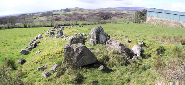
What is recorded here
National Monument standing on rock outcrop overlooking the S shoreline of Lough Gur 50m to N. Rectangular shaped graveyard (approx. dims. 30m N-S; 73m E-W; wall T 0.45m; H 1.2m) with medieval church ruins (LI032-024001-) in NW quadrant which is enclosed by a 19th century stone wall with entrance stile at SE corner.
Compiled by: Caimin O'Brien
Date of upload: 9 July 2018
Medieval graveyard and church site, 12th–16th century. Associated with a long Christian tradition in the Lough Gur area, reflecting monastic or parish activity in the medieval period.
The monument record does not grant public access. Check the route and ask the landowner before entering private land.
- What survives
- Recorded monument
Places near here
 New Church (in ruins)Church · 24 yd
 RoadRoad, road/trackway · 125 yd
 Stone CirclesSettlement platform · 224 yd
 Giants GraveWedge tomb · 367 yd
 Black Castle (in ruins)Castle, tower house · 584 yd
 Garret IslandCastle, unclassified · 918 yd
 Grange Stone CircleArchaeological place · 1155 yd
 Lough GurVisitor information · 1221 yd
 Pedunculate OakPedunculate Oak · 1244 yd
 Lough Gur Heritage CentreVisitor information · 1573 yd
 The SpectaclesVisitor information · 1642 yd
 Glen BogForest · 1.6 mi
Other information
Photo: Credit not shown in the picture search · Rights wording not checked; contact us if this picture should be removed