What is recorded here
This graveyard, roughly trapezoidal in plan, is associated with ‘Killeroon Church’ (GA054-041----), a medieval church which is located in the NE part of an ecclesiastical enclosure (GA054-041002-). A detailed survey of it was undertaken in March 2008 prior to the realignment of a section of the N59, which runs NNW-SSE immediately to the W of the church (Blakeman 2008). Its outline is defined by a number of sections of walling, with three long sections (L 13-15m; Wth 1.5-1.8m; H 0.15-0.75m) visible to the NW, NE and S, the section to the S may have continued to the W of the road. Sixty grave-markers, that appeared to be laid out in rows, were identified to the N and E of the church and three further grave-markers were also noted in a possible enclosed area off the NW end of the church (ibid., 6). (Gosling 1993, 103, no. 588)
Compiled by: Olive Alcock
Date of upload: 6 July 2023
Blakeman, B. 2008 Topographic survey of a church site and enclosure (GA 054:041) adjacent to the existing N59 at Laghtgannon townland, Co Galway. Eachtra Archaeological Projects. Unpublished report for Galway County Council.
Medieval ecclesiastical site; associated with a church and graveyard, significant for understanding medieval religious and community structures in the region.
The monument record does not grant public access. Check the route and ask the landowner before entering private land.
- What survives
- Recorded monument
Places near here
 Ecclesiastical enclosure in LaghtgannonEcclesiastical enclosure · 21 yd
 Aughnanure Castle (in ruins)Castle, tower house · 1184 yd
 Enclosure in Porridgetown WestEnclosure · 1720 yd
 Church in ruinsChurch · 1.4 mi
 AltarPenitential station · 1.4 mi
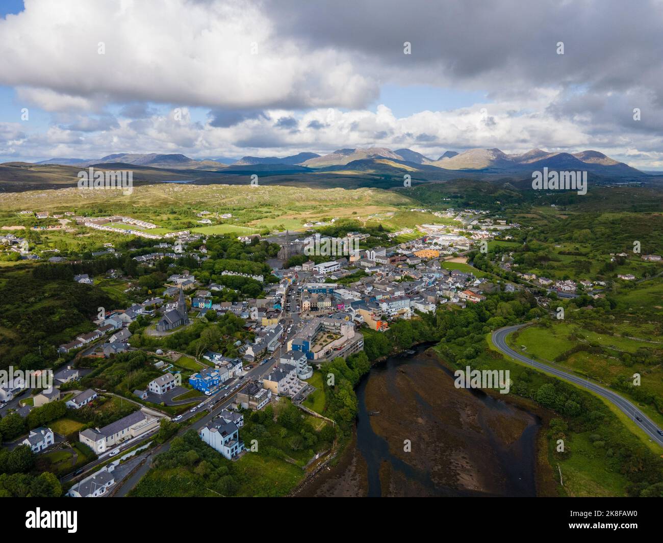 SnahadaunIslet · 2.0 mi
 Owenriff WayWalking route · 2.2 mi
 CastleCastle, unclassified · 2.2 mi
 IllauncarbryIslet · 2.3 mi
 Annagh WoodWood · 3.0 mi
 Brigit's GardenHeritage attraction · 3.3 mi
 Glengowla Mines MuseumMuseum · 3.9 mi