What is recorded here
On a natural rise overlooking the Suir river valley to the W. Knockgraffon motte and bailey (TS075-019001-) are visible c. 100m to the S. The medieval church (TS075-019003-) is centrally placed within a roughly rectangular graveyard (dims. 57m N-S; 76m E-W) enclosed by a stone wall. A graveslab (TS075-019007-) dating from the early 16th century is located in the chancel of the church. Headstones dating from the 18th century until recently are located S of the church.
Compiled by: Jean Farrelly
Date of upload: 02 April 2014
The monument record does not grant public access. Check the route and ask the landowner before entering private land.
- What survives
- Recorded monument
Places near here
 Knockgraffon Church (in ruins)Church · 9 yd
 Knockgraffon MoatCastle, motte and bailey · 228 yd
 Knockgraffon MotteArchaeological place · 240 yd
 Knockgraffon CastleCastle · 476 yd
 Enclosure in KnockgraffonEnclosure · 842 yd
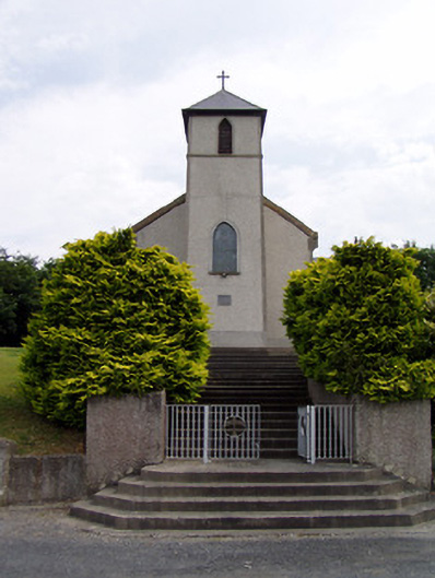 Saint Bartholomew's Catholic Churchchurch/chapel · 1300 yd
 Caher AbbeyHeritage attraction · 2.4 mi
 Caucasian zelkovaCaucasian zelkova · 2.4 mi
 Siege of Cahir Castlesiege · 2.6 miCahir CastleHeritage attraction · 2.7 mi
 Slieveanard NE TopMountain / peak · 3.1 mi
 Cappa WoodWood · 3.1 mi