What is recorded here
Located at the top of a scarp down to a W-E stream that is c. 60m to the N, and c. 350m from the sea-shore. The the parish church of Kiltennel (WX012-005001-) is within a D-shaped graveyard (dims. 40m E-W; 36m N-S) defined by an earthen bank (NE-S-NW) with a scarp down to stream forming the straight side at N.
Compiled by: Michael Moore
Date of upload: 12 April, 2012
The monument record does not grant public access. Check the route and ask the landowner before entering private land.
- What survives
- Recorded monument
Places near here
 Courtown Housegraveyard/cemetery · 3 yd
 Duffcarrig Rocks BeachBeach / strand · 754 yd
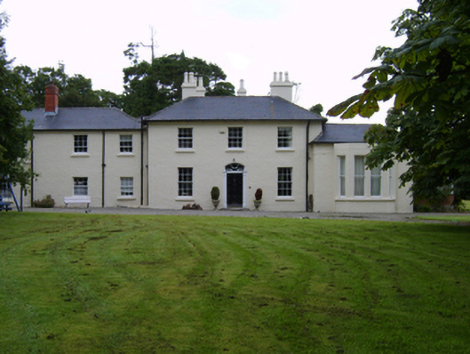 Kiltennell Houserectory/glebe/vicarage/curate's house · 814 yd
 Holm OakHolm Oak · 1094 yd
 Courtown WoodsWood · 1237 yd
 Enclosure in BallycomcloneEnclosure · 1392 yd
 High Cross of KilbrideMonument · 1.0 mi
 Courtown Amusement CentreHeritage attraction · 1.1 mi
 Kia Ora Mini FarmHeritage attraction · 1.7 mi
 IndicatedCastle, motte and bailey · 2.0 mi
 Banoge HillMountain / peak · 2.4 mi
 Tara HillMountain / peak · 2.7 mi