What is recorded here
Reference to an ancient place of interment here (O'Hanlon and O'Leary 1907, vol. 1, 272). Ten irregular shaped uninscribed grave markers visible. All inscribed headstones visible post date 1700 AD. Roughly D-shaped graveyard (int. dims. 58m N-S; 70m E-W) enclosed by a stone wall with church in centre of graveyard.
The above description is derived from the published 'Archaeological Inventory of County Laois' (Dublin Stationery Office, 1995) compiled by P. David Sweetman, Olive Alcock and Bernie Moran. In certain instances the entries have been revised and updated in the light of recent research.
Date of upload: 17 December 2007
The monument record does not grant public access. Check the route and ask the landowner before entering private land.
- What survives
- Recorded monument
Places near here
 Kilteale Church (in Ruins)Church · 11 yd
 Cromwells LinesFairy fort / earthen ringfort · 764 yd
 Enclosure in Ballycarroll (maryborough East By.)Enclosure · 876 yd
 Holy Trinity Church (Kilteale)church/chapel · 973 yd
 Rock of Dunamase InformationVisitor information · 1020 yd
 Rock of DunamaseCastle · 1121 yd
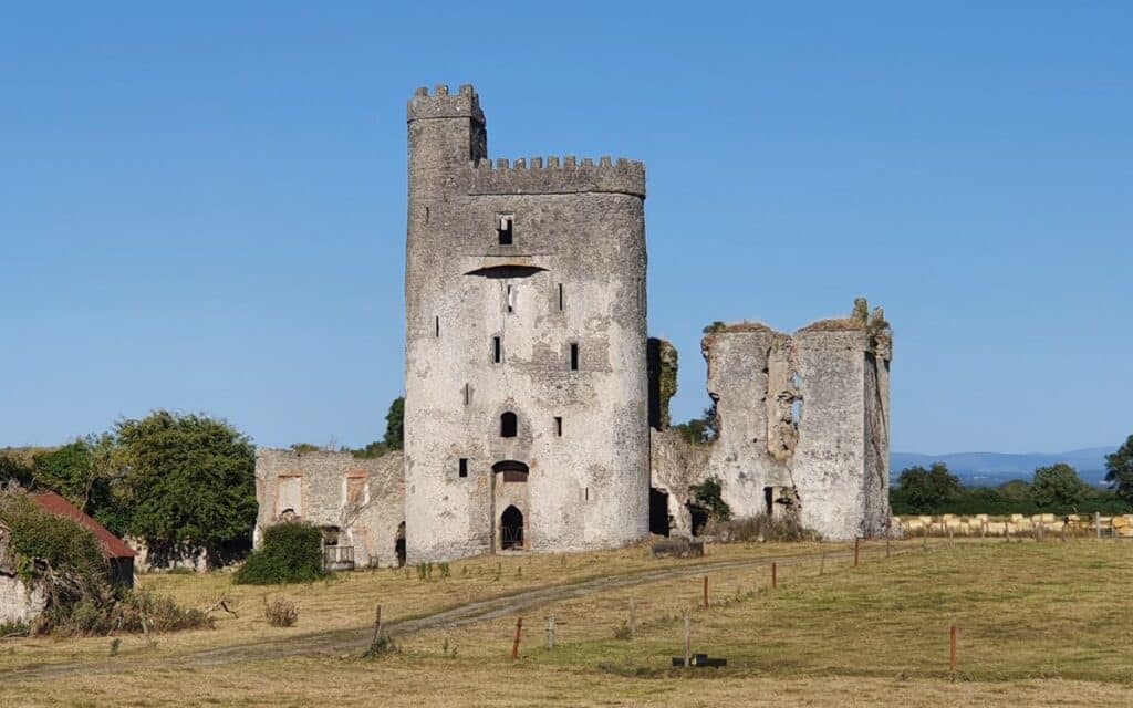 CastleCastle, unclassified · 1127 yd
 Rock of Dunamase, Castle (in Ruins)Castle, Anglo-Norman masonry castle · 1132 yd
 European BeechEuropean Beech · 2.4 mi
 CEMETERYGraveyard · 3.2 mi
 Oughaval Wood MapVisitor information · 3.6 mi
 Black WalnutBlack Walnut · 3.6 mi