What is recorded here
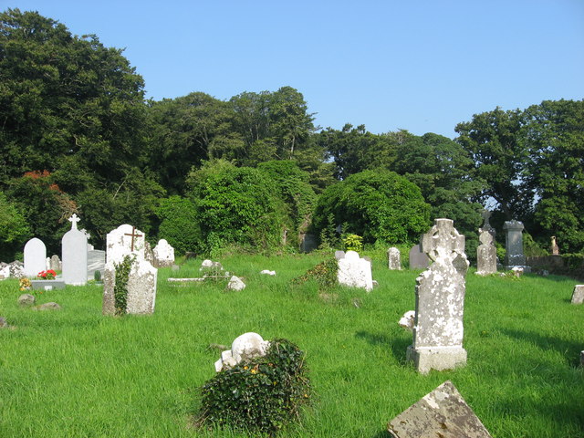
Situated at the S edge of a small plateau with the valley of the W-E River Nanny immediately to the S and the stream is c. 90m to the S. The parish church of Kilsharvan (ME027-009----) is in a rectangular graveyard (dims c. 70m E-W; c. 40m N-S) defined by masonry walls (H c. 2m) on four sides. The walls have been heightened with brick courses (H c. 1m) at E, S, and W, but not at N where there is an E-W section of the old Julianstown to Duleek road.
Compiled by: Michael Moore
Date of upload: 22 December, 2014
The monument record does not grant public access. Check the route and ask the landowner before entering private land.
- What survives
- Recorded monument
Places near here
 Church (in Ruins)Church · 8 yd
 Enclosure in Newhaggard (duleek Upper)Enclosure · 248 yd
 Beaumont Br.Bridge · 637 yd
 CrossCross, Wayside cross · 970 yd
 CastleCastle, unclassified · 1.4 mi
 Platin HouseCastle, unclassified · 2.2 mi
 Newgrange Business ParkMemorial · 2.8 mi
 Battle of Julianstownbattle · 2.9 mi
 Common LimeCommon Lime · 2.9 mi
 Glenmore ForestWood · 4.0 mi
 Yellow IslandIslet · 4.2 mi
 Brú na Bóinne Visitor Centre AccessHeritage attraction · 4.4 mi